Transport Functions
Multimodal
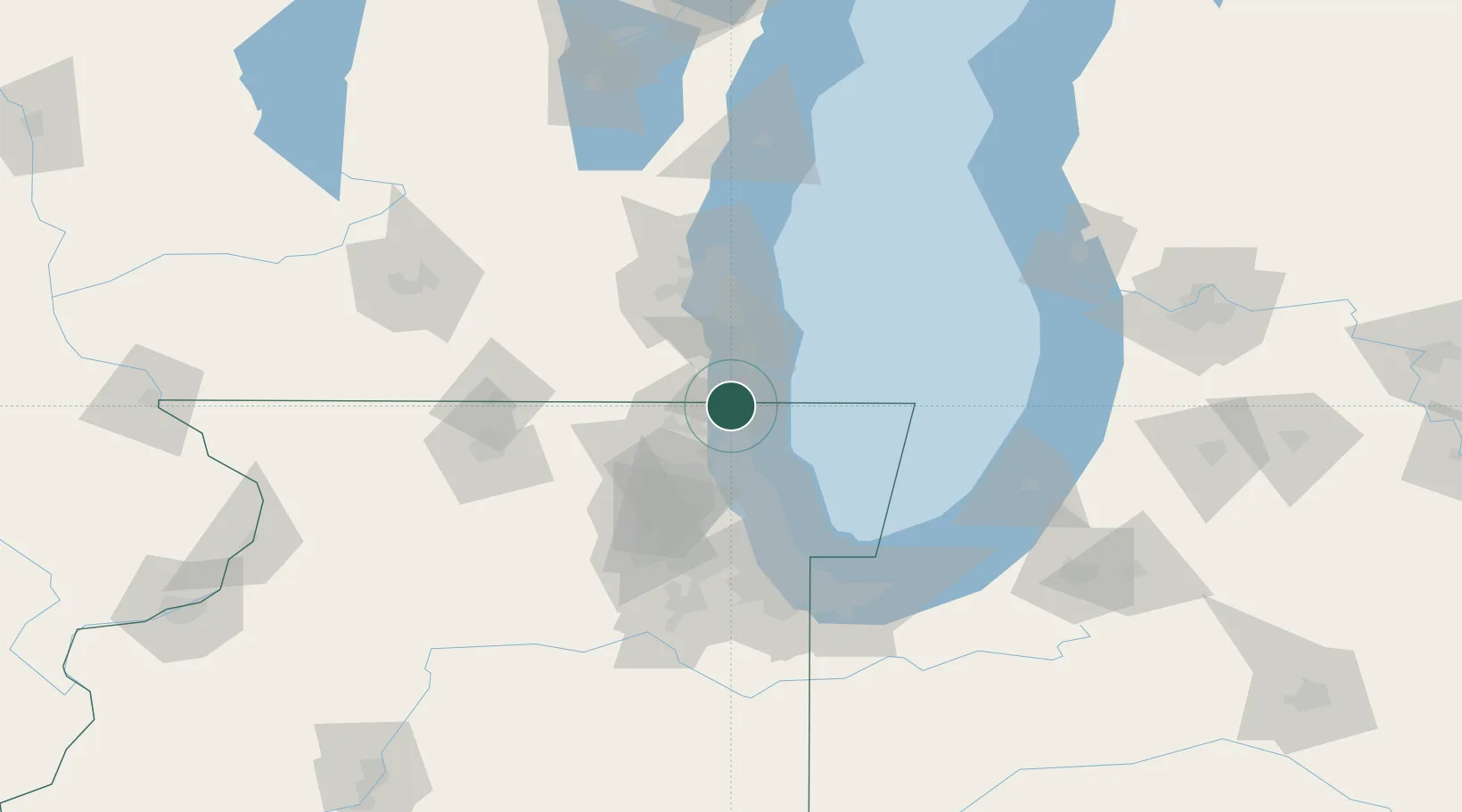
Hub Profile
Place type
Populated place
Region
Illinois
Time zone
America/Chicago
Elevation
212 m
Location
Nearby Logistics Neighbours
Cities
- 1Pleasant Prairie8 km
- 2Lindenhurst12 km
- 3Antioch15 km
- 4Waukegan16 km
- 5Green Oaks22 km
Ports
- 1Kenosha13 km
- 2Waukegan15 km
- 3Great Lakes21 km
- 4Racine29 km
- 5Wilmette48 km
Airports
Trade Zones
- 1FTZ No. 292 Lake County18 km
- 2FTZ No. 041 Milwaukee66 km
- 3FTZ No. 022 Chicago72 km
- 4FTZ No. 176 Rockford111 km
- 5FTZ No. 152 Burns Harbor114 km
DatabookThe Record of Consolidated Knowledge
United States beyond logistics?