UN/LOCODE hub · United States
USUGN
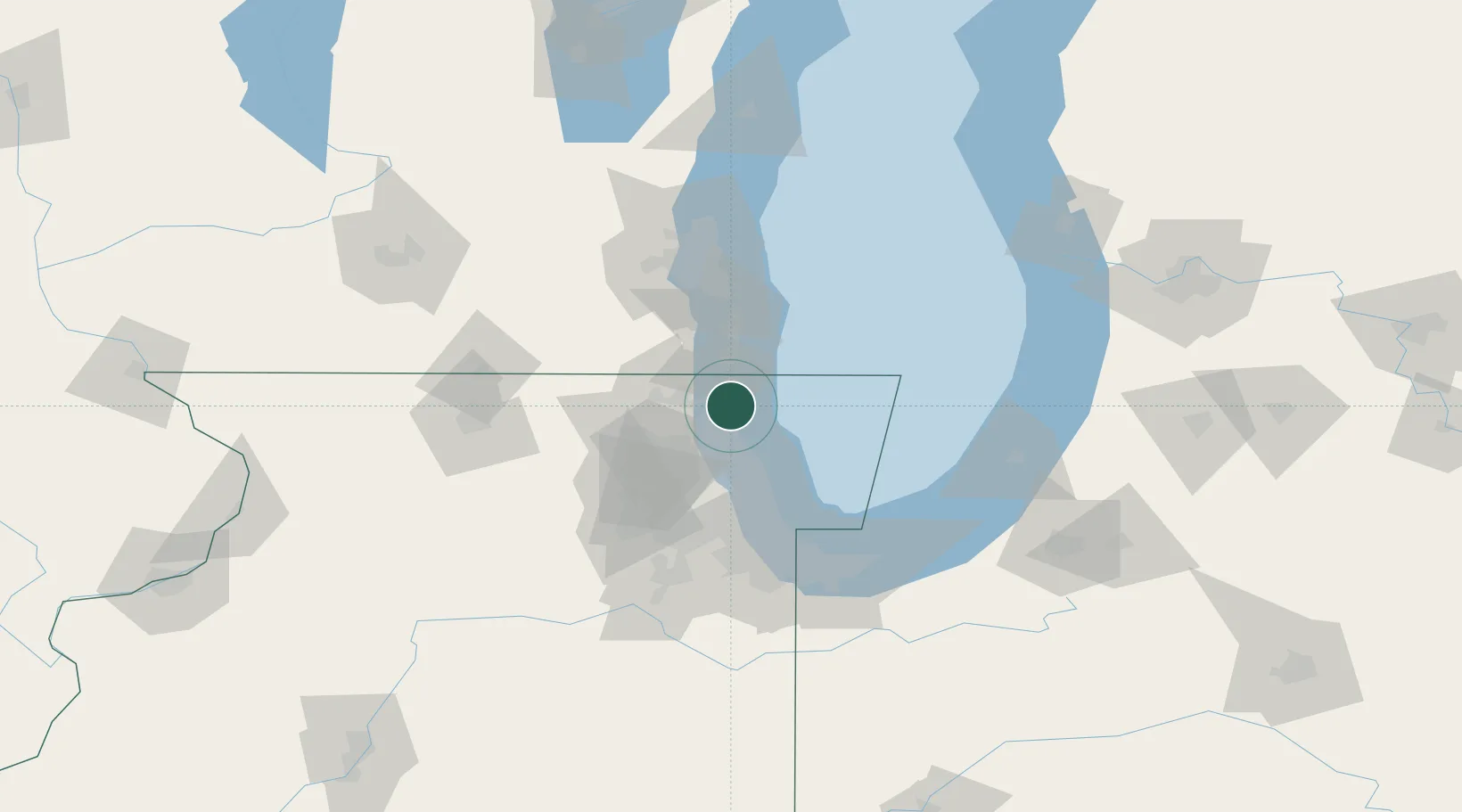
Waukegan
42.3500°, -87.8333°
88,475
Population
3
Transport functions
Transport Functions
Port
Road
Airport
Hub Profile
Place type
Provincial seat
Region
Illinois
Population
88,475
Time zone
America/Chicago
Elevation
199 m
Location
Nearby Logistics Neighbours
Cities
- 1Green Oaks9 km
- 2Lindenhurst15 km
- 3Russell16 km
- 4Mettawa16 km
- 5Fairfield23 km
Ports
- 1Great Lakes6 km
- 2Kenosha26 km
- 3Wilmette32 km
- 4Racine43 km
- 5Chicago55 km
Airports
Trade Zones
- 1FTZ No. 292 Lake County6 km
- 2FTZ No. 022 Chicago58 km
- 3FTZ No. 041 Milwaukee82 km
- 4FTZ No. 152 Burns Harbor98 km
- 5FTZ No. 176 Rockford114 km
DatabookThe Record of Consolidated Knowledge
United States beyond logistics?