Transport Functions
Road
Multimodal
Hub Profile
Place type
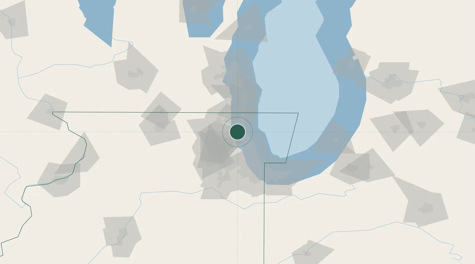
Populated place
Region
Illinois
Population
578
Time zone
America/Chicago
Elevation
208 m
Location
Nearby Logistics Neighbours
Cities
- 1Green Oaks8 km
- 2Fairfield11 km
- 3Kildeer11 km
- 4Deer Park16 km
- 5Waukegan16 km
Ports
- 1Great Lakes12 km
- 2Waukegan19 km
- 3Wilmette24 km
- 4Kenosha42 km
- 5Chicago45 km
Airports
Trade Zones
- 1FTZ No. 292 Lake County12 km
- 2FTZ No. 022 Chicago43 km
- 3FTZ No. 152 Burns Harbor91 km
- 4FTZ No. 041 Milwaukee95 km
- 5FTZ No. 176 Rockford106 km
DatabookThe Record of Consolidated Knowledge
United States beyond logistics?