Small airport · United States

Decatur Shores AirportWN07

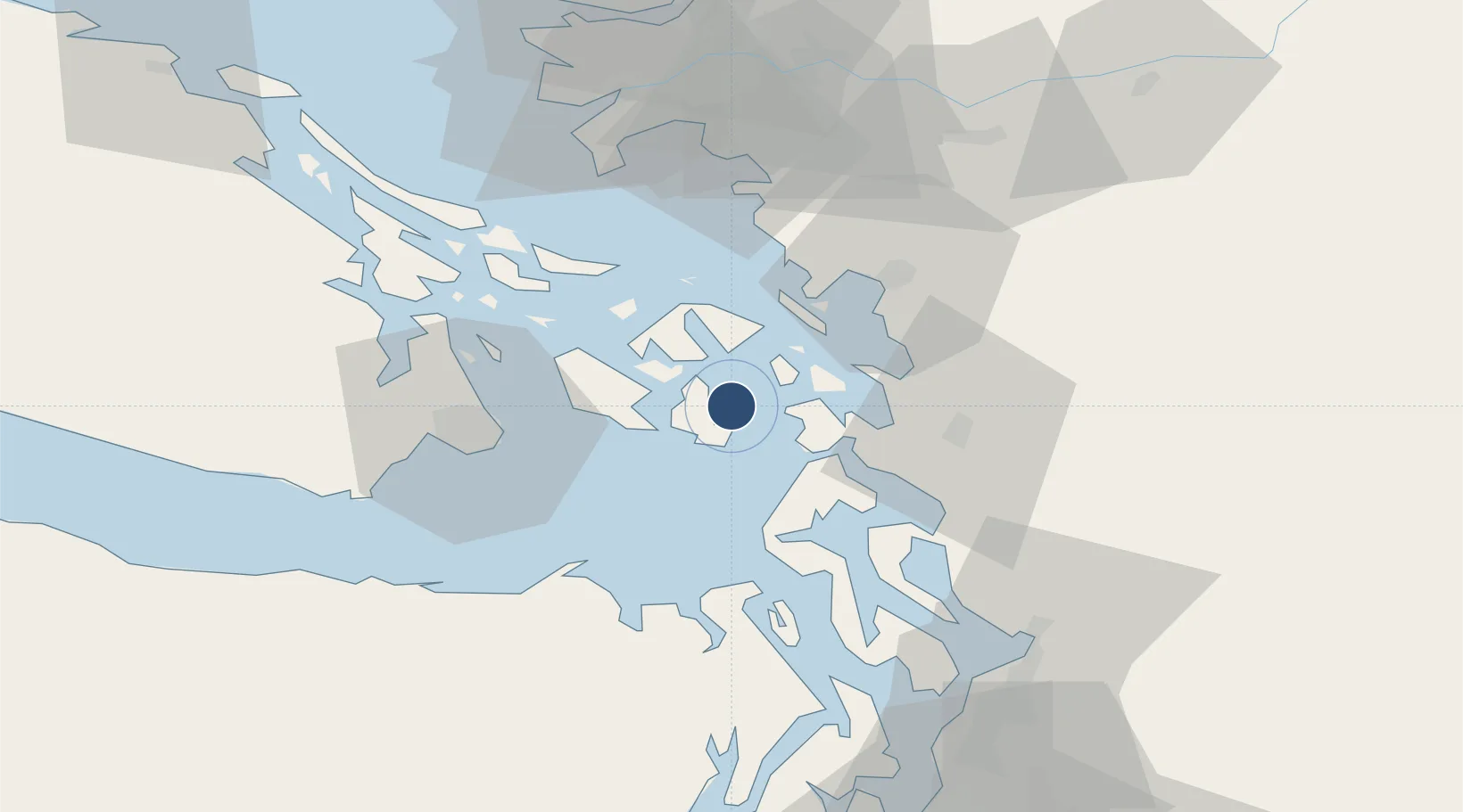
48.5002°, -122.8140°
2,550 ft
Longest runway
1
Runways
38 ft
Elevation

Runway & Layout

Decatur Shores Airport runway & taxiway layout
Runway & taxiway layout — OpenStreetMap (ODbL) / OurAirports

Runways · 1

RunwayDimensions SurfaceTrue headingLit
15/33 2,550 × 75ft GRVL-TURF
OurAirports

Airport Specifications

IATA code
DTR
OurAirports
ICAO code
WN07
OurAirports
Airport class
Small airport
OurAirports
Scheduled service
Yes
OurAirports
Runway surface
GRVL-TURF
OurAirports
Served city
Decatur
OurAirports

Location

Location of WN07
Natural Earth 10m (public domain) · Washington · WN07 · 48.50, -122.81GoogleOSMYandex

Nearby Logistics Neighbours

Airports
  1. 1Center Island Airport2 km
  2. 2Fishermans Bay Seaplane Base8 km
  3. 3Blakely Island Airport9 km
  4. 4Lopez Island Airport9 km
  5. 5Anacortes Airport11 km
Nearest neighbours — logibook spatial index (haversine) over the source coordinates
Cities
  1. 1Mengkofen28 km
  2. 2Bellingham38 km
  3. 3Mount Vernon38 km
  4. 4Victoria40 km
  5. 5Sedro Woolley43 km
Nearest neighbours — logibook spatial index (haversine) over the source coordinates
Ports
  1. 1Orcas14 km
  2. 2Anacortes15 km
  3. 3Friday Harbor15 km
  4. 4Roche Harbor29 km
  5. 5Coupeville31 km
Nearest neighbours — logibook spatial index (haversine) over the source coordinates
Trade Zones
  1. 1FTZ No. 129 Bellingham35 km
  2. 2FTZ No. 128 Whatcom County40 km
  3. 3FTZ No. 085 Everett71 km
  4. 4FTZ Vancouver Island86 km
  5. 5FTZ No. 005 Seattle102 km
Nearest neighbours — logibook spatial index (haversine) over the source coordinates
DatabookThe Record of Consolidated Knowledge
United States beyond logistics?
Browse databook

All Sources

AirportsOurAirports
Public domain
Portsthe NGA World Port Index
Public domain (US gov)
LocationsUN/LOCODE
UN/LOCODE — free
Trade Zonesthe World Bank SEZ database
CC BY 4.0
Trade ZonesOpen Zone Map
CC BY
InfrastructureOpenStreetMap
ODbL 1.0
← United States airports