UN/LOCODE hub · United States
USAV9
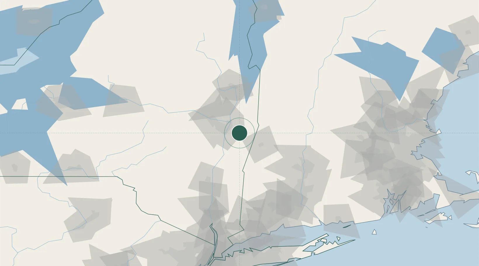
Averill Park
42.6333°, -73.5500°
1,693
Population
1
Transport functions
Transport Functions
Port
Hub Profile
Place type
Populated place
Region
New York
Population
1,693
Time zone
America/New_York
Elevation
239 m
Location
Nearby Logistics Neighbours
Cities
- 1Troy14 km
- 2Nassau15 km
- 3Garfield18 km
- 4Loudonville18 km
- 5Stephentown19 km
Ports
- 1Albany17 km
- 2Rensselaer17 km
- 3Troy17 km
- 4Catskill53 km
- 5Kingston85 km
Airports
Trade Zones
- 1FTZ No. 121 Albany24 km
- 2FTZ No. 268 Brattleboro82 km
- 3FTZ No. 201 Holyoke83 km
- 4FTZ No. 071 Windsor Locks109 km
- 5FTZ No. 162 New Haven156 km
DatabookThe Record of Consolidated Knowledge
United States beyond logistics?