UN/LOCODE hub · United States
USFIK
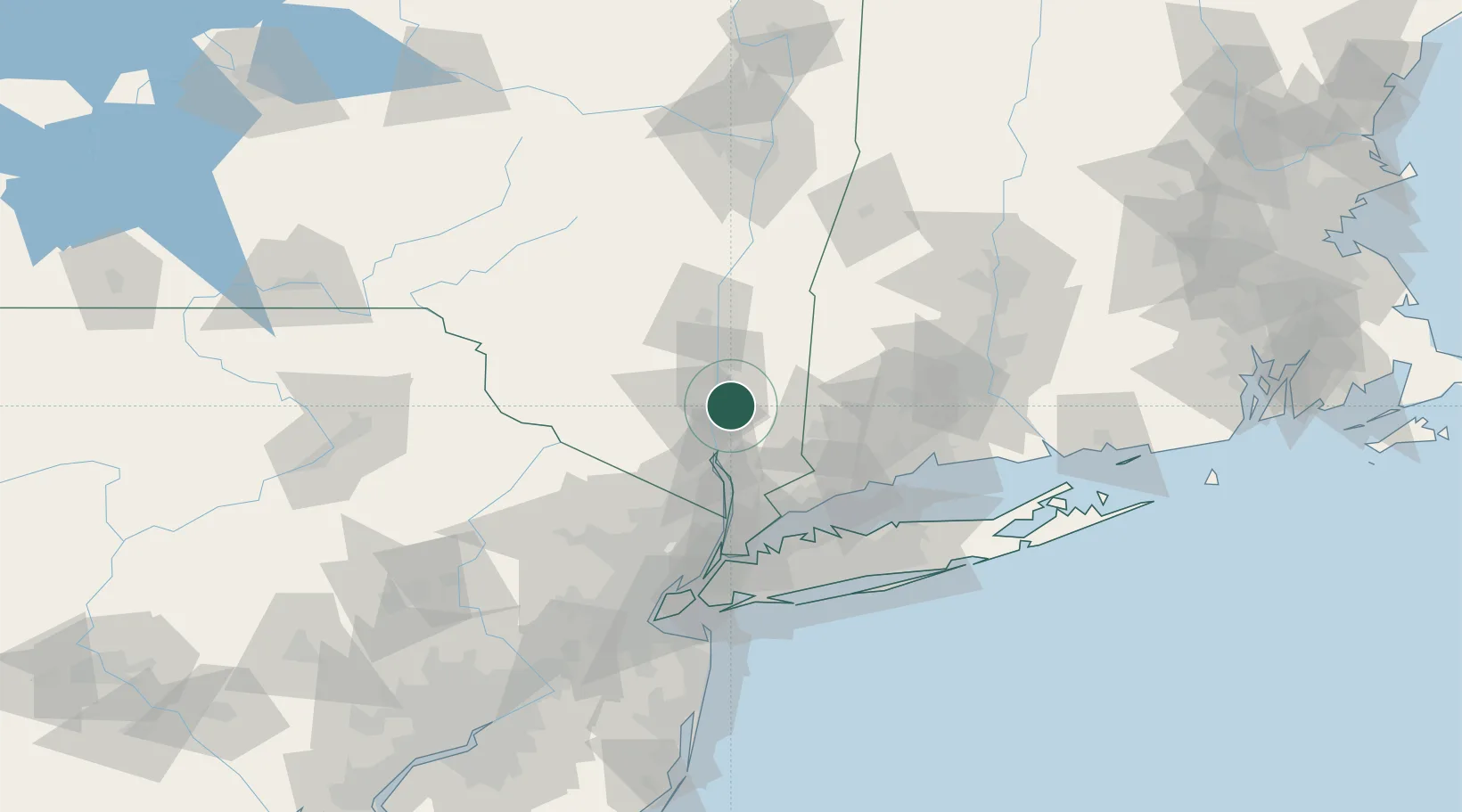
Fishkill
41.5286°, -73.8834°
2,133
Population
3
Transport functions
Transport Functions
Port
Rail
Road
Hub Profile
Place type
Populated place
Region
New York
Population
2,133
Time zone
America/New_York
Elevation
67 m
Logistics facilities
2
Location
Nearby Logistics Neighbours
Cities
- 1Chelsea7 km
- 2Beacon8 km
- 3Roseton11 km
- 4Stormville13 km
- 5Garrison17 km
Ports
- 1Newburgh10 km
- 2Poughkeepsie20 km
- 3Kingston46 km
- 4Greenwich61 km
- 5Port Chester62 km
Airports
Trade Zones
- 1FTZ No. 076 Bridgeport70 km
- 2FTZ No. 162 New Haven84 km
- 3FTZ No. 037 Orange County87 km
- 4FTZ No. 052 Suffolk County89 km
- 5FTZ No. 001 New York City92 km
DatabookThe Record of Consolidated Knowledge
United States beyond logistics?