Channel & Berth Profile
Pilotage, Tugs & Services
Pilotage availableYES
Shore powerYES
Potable waterYES
Diesel bunkersYES
MedicalYES
Garbage disposalYES
Facilities & Capabilities
Container—
Ro-Ro—
Liquid bulk—
Dry bulk—
Oil terminal—
Break bulk—
Dry dock—
RepairsNO
BunkeringYES
Rail linkYES
Dangerous cargo—
ISPS security—
Harbour Specifications
Harbour size
Small
Harbour type
Coastal (Natural)
Shelter
Poor
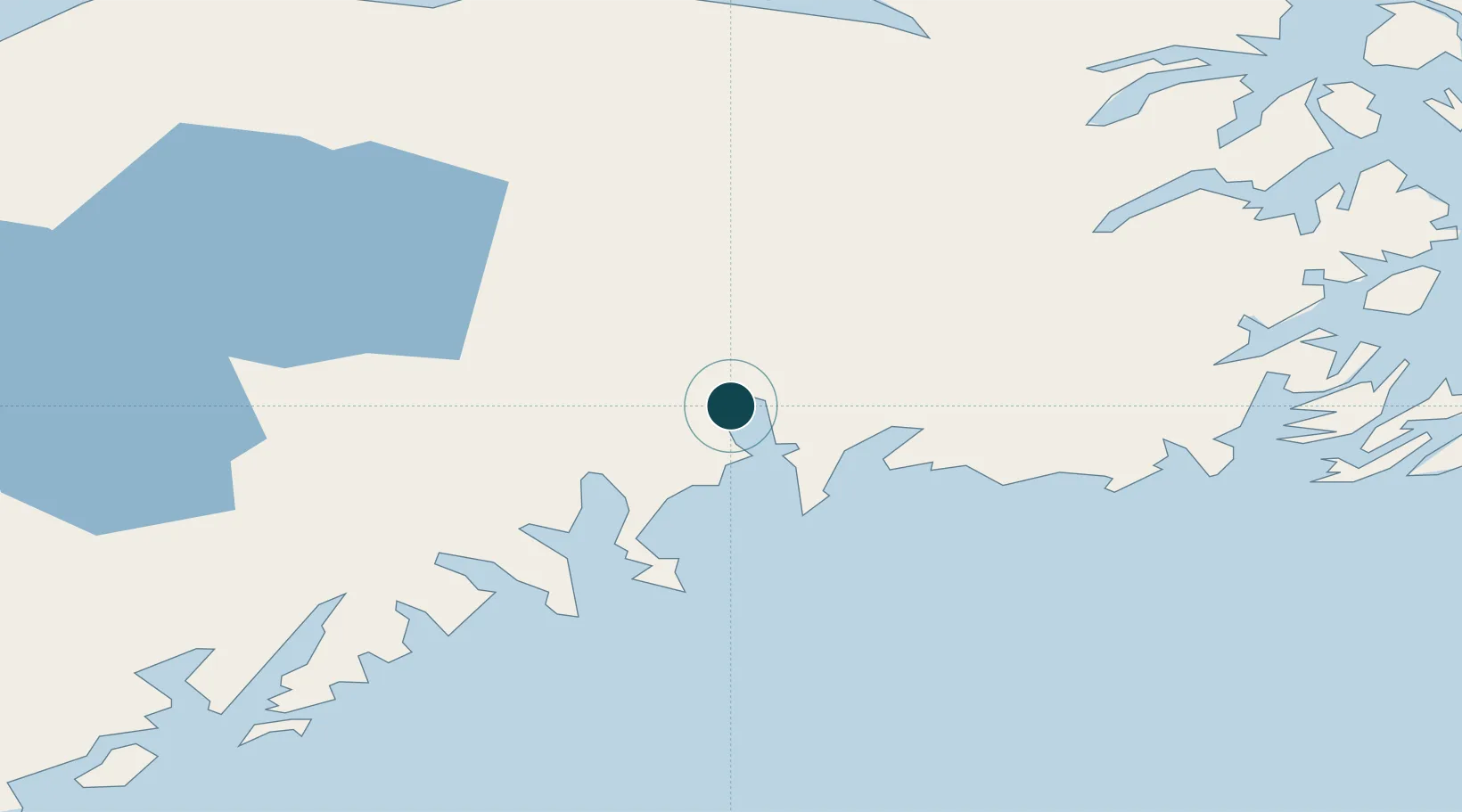
Water body
Gulf of Alaska; North Pacific Ocean
Tidal range
3 m
Location
Nearby Logistics Neighbours
Ports
- 1San Juan Cannery76 km
- 2Whittier86 km
- 3Kenai113 km
- 4Homer124 km
- 5Ninilchik125 km
Cities
- 1Anchorage129 km
- 2Elmendorf Air Force Base129 km
- 3Port MacKenzie132 km
- 4Jakolof Bay137 km
- 5Susitna170 km
Airports
- 1Seward Airport4 km
- 2Chenega Bay Airport80 km
- 3Soldotna Airport98 km
- 4Kenai Municipal Airport113 km
- 5Ted Stevens Anchorage International Airport124 km
Trade Zones
- 1FTZ No. 160 Anchorage129 km
- 2FTZ No. 108 Valdez203 km
- 3FTZ No. 232 Kodiak381 km
- 4FTZ No. 195 Fairbanks535 km
- 5PrInce George Logistics Park1741 km
DatabookThe Record of Consolidated Knowledge
United States beyond logistics?