Small airport · United States
Chenega Bay AirportPFCB
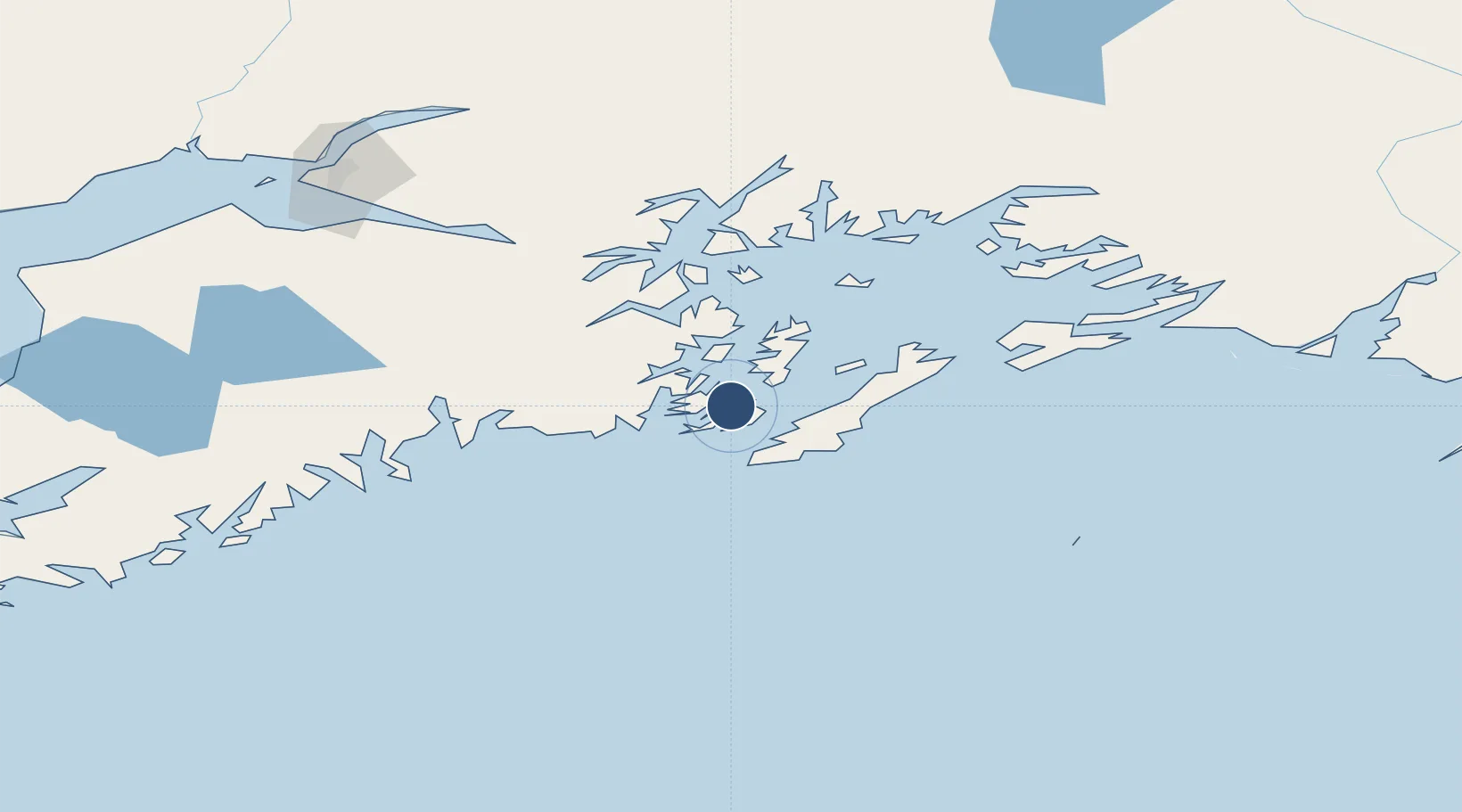
60.0776°, -147.9947°
3,000 ft
Longest runway
1
Runways
72 ft
Elevation
Runway & Layout

Runways · 1
| Runway | Dimensions | Surface | True heading | Lit |
|---|---|---|---|---|
| 15/33 | 3,000 × 75ft | GRAVEL-G | — | — |
Airport Specifications
IATA code
NCN
ICAO code
PFCB
Airport class
Small airport
Scheduled service
Yes
Runway surface
GRAVEL-G
Served city
Chenega
Location
Nearby Logistics Neighbours
Airports
- 1Seward Airport79 km
- 2Tatitlek Airport114 km
- 3Merle K (Mudhole) Smith Airport146 km
- 4Valdez Pioneer Field151 km
- 5Merrill Field162 km
Cities
- 1Cordova135 km
- 2Orca138 km
- 3Valdez149 km
- 4Elmendorf Air Force Base163 km
- 5Anchorage165 km
Ports
- 1San Juan Cannery5 km
- 2Seward80 km
- 3Whittier87 km
- 4Cordova134 km
- 5Orca137 km
Trade Zones
- 1FTZ No. 108 Valdez147 km
- 2FTZ No. 160 Anchorage165 km
- 3FTZ No. 232 Kodiak437 km
- 4FTZ No. 195 Fairbanks530 km
- 5PrInce George Logistics Park1662 km
DatabookThe Record of Consolidated Knowledge
United States beyond logistics?