Medium airport · United States
Seward AirportPAWD
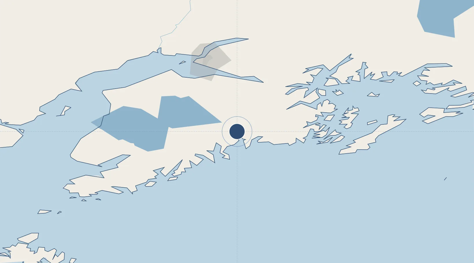
60.1305°, -149.4186°
4,249 ft
Longest runway
2
Runways
22 ft
Elevation
Runway & Layout

Radio Frequencies
ASOS
135.2 MHz
CTAF
122.9 MHz
FSS
122.6 MHz
KENAI RDO
Runways · 2
| Runway | Dimensions | Surface | True heading | Lit |
|---|---|---|---|---|
| 13/31 | 4,249 × 100ft | ASPH-G | 144° | ✓ |
| 16/34 | 2,289 × 75ft | ASPH-G | 174° | — |
Airport Specifications
IATA code
SWD
ICAO code
PAWD
Airport class
Medium airport
Scheduled service
No
Runway surface
ASPH-G
Served city
Seward
Location
Nearby Logistics Neighbours
Airports
- 1Chenega Bay Airport79 km
- 2Soldotna Airport97 km
- 3Kenai Municipal Airport112 km
- 4Ted Stevens Anchorage International Airport121 km
- 5Merrill Field123 km
Cities
- 1Anchorage125 km
- 2Elmendorf Air Force Base126 km
- 3Port MacKenzie129 km
- 4Jakolof Bay140 km
- 5Susitna167 km
Ports
- 1Seward4 km
- 2San Juan Cannery76 km
- 3Whittier82 km
- 4Kenai112 km
- 5Anchorage124 km
Trade Zones
- 1FTZ No. 160 Anchorage126 km
- 2FTZ No. 108 Valdez201 km
- 3FTZ No. 232 Kodiak384 km
- 4FTZ No. 195 Fairbanks532 km
- 5PrInce George Logistics Park1740 km
DatabookThe Record of Consolidated Knowledge
United States beyond logistics?