Medium airport · United States
Gambell AirportPAGM
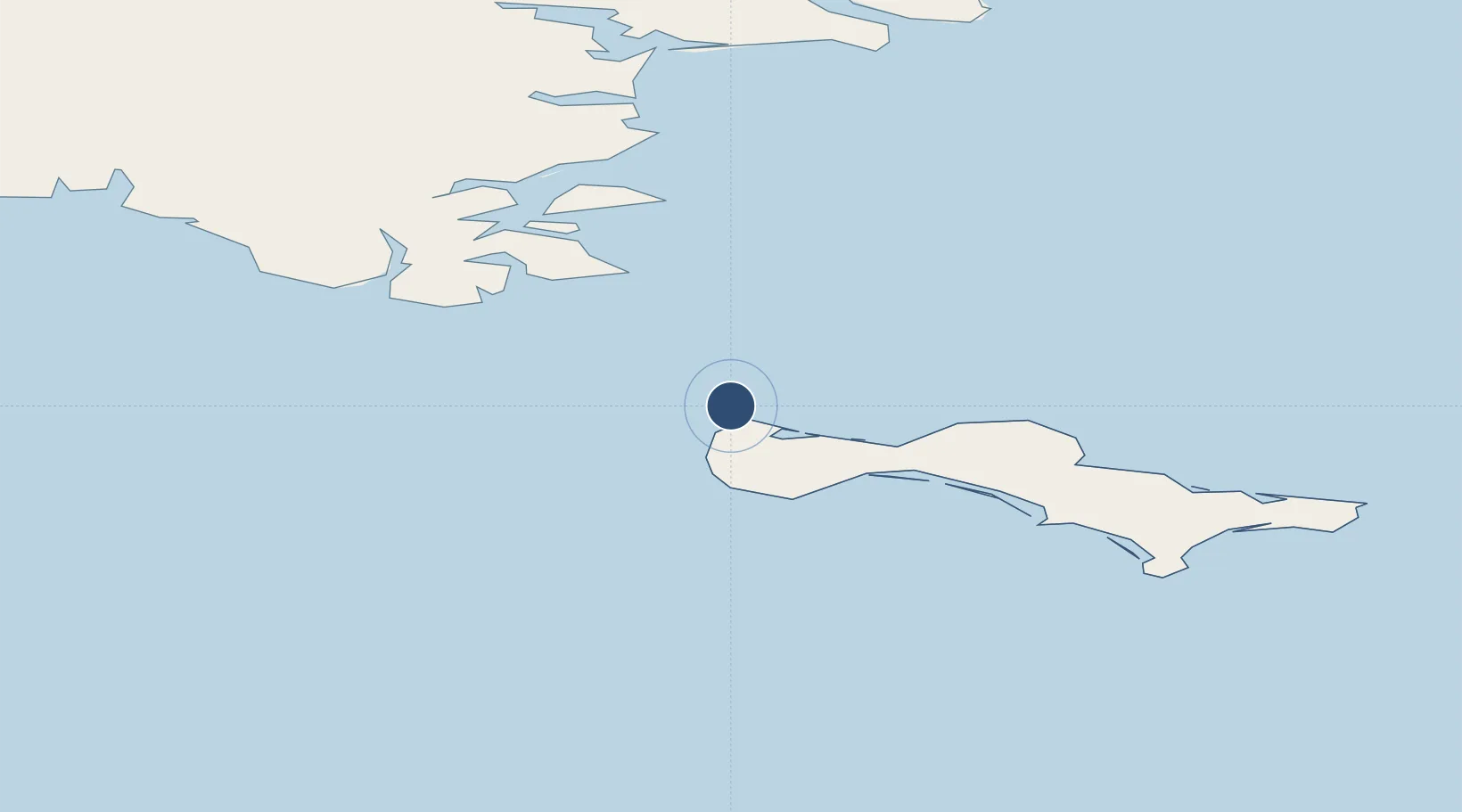
63.7677°, -171.7333°
4,500 ft
Longest runway
1
Runways
27 ft
Elevation
Runway & Layout

Radio Frequencies
AWOS
125.9 MHz
AWOS 3
CTAF
122.7 MHz
CNTR
132.2 MHz
ANCHORAGE CNTR
FSS
122 MHz
NOME RDO
MISC
36.9 MHz
TWEB
Navaids
GAM NDB-DME Gambell 0.37 MHz
Runways · 1
| Runway | Dimensions | Surface | True heading | Lit |
|---|---|---|---|---|
| 16/34 | 4,500 × 100ft | Asphalt | 172° | ✓ |
Airport Specifications
IATA code
GAM
ICAO code
PAGM
Airport class
Medium airport
Scheduled service
Yes
Runway surface
Asphalt
Served city
Gambell
Location
Nearby Logistics Neighbours
Airports
- 1Savoonga Airport62 km
- 2Provideniya Bay Airport100 km
- 3Diomede Heliport258 km
- 4Wales Airport269 km
- 5Tin City Long Range Radar Station Airport270 km
Cities
- 1Provideniya, Bukhta102 km
- 2Lavrentiya205 km
- 3Sledge Island280 km
- 4Uelen282 km
- 5Vankarem490 km
Ports
- 1Savoonga66 km
- 2Provideniya103 km
- 3Nome317 km
- 4Solomon366 km
- 5Shishmaref383 km
Trade Zones
- 1FTZ No. 160 Anchorage1150 km
- 2FTZ No. 195 Fairbanks1157 km
- 3FTZ No. 232 Kodiak1202 km
- 4FTZ No. 108 Valdez1328 km
- 5PrInce George Logistics Park2935 km
DatabookThe Record of Consolidated Knowledge
United States beyond logistics?