Transport Functions
Port
Multimodal
Hub Profile
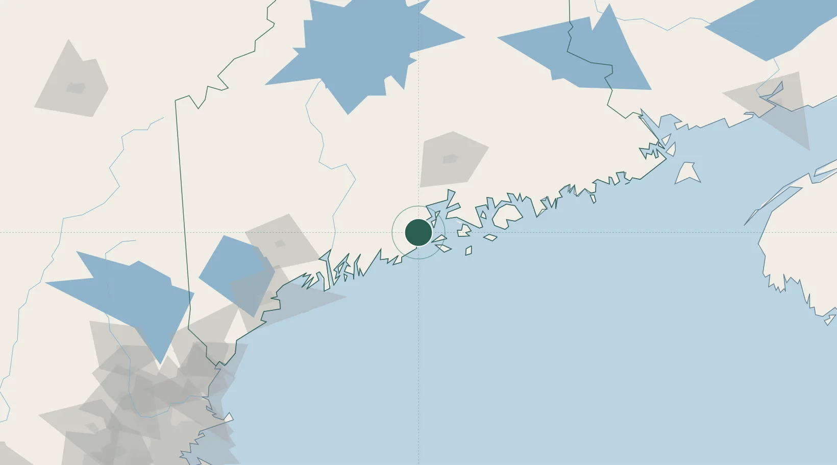
Place type
Populated place
Region
Maine
Population
3,570
Time zone
America/New_York
Elevation
8 m
Location
Nearby Logistics Neighbours
Cities
- 1Rockport3 km
- 2Union17 km
- 3Spruce Head23 km
- 4Saint George23 km
- 5Little Deer Isle31 km
Ports
- 1Rockport2 km
- 2Rockland12 km
- 3North Haven16 km
- 4Thomaston18 km
- 5Vinalhaven24 km
Airports
- 1Witherspoons Airport15 km
- 2Islesboro Airport16 km
- 3Knox County Regional Airport16 km
- 4Vinalhaven Airport23 km
- 5Matinicus Island Airport39 km
Trade Zones
- 1FTZ No. 186 Waterville64 km
- 2FTZ No. 058 Bangor70 km
- 3FTZ No. 263 Auburn93 km
- 4FTZ No. 081 Portsmouth193 km
- 5Saint John264 km
DatabookThe Record of Consolidated Knowledge
United States beyond logistics?