Channel & Berth Profile
Pilotage, Tugs & Services
Pilotage compulsoryYES
Tug assistanceNO
Salvage tugsNO
Shore powerYES
Potable waterYES
Diesel bunkersYES
MedicalYES
Facilities & Capabilities
Container—
Ro-Ro—
Liquid bulk—
Dry bulk—
Oil terminal—
Break bulk—
Dry dock—
RepairsNO
BunkeringYES
Rail linkYES
Dangerous cargo—
ISPS security—
Harbour Specifications
Harbour size
Very Small
Harbour type
River (Natural)
Shelter
Fair
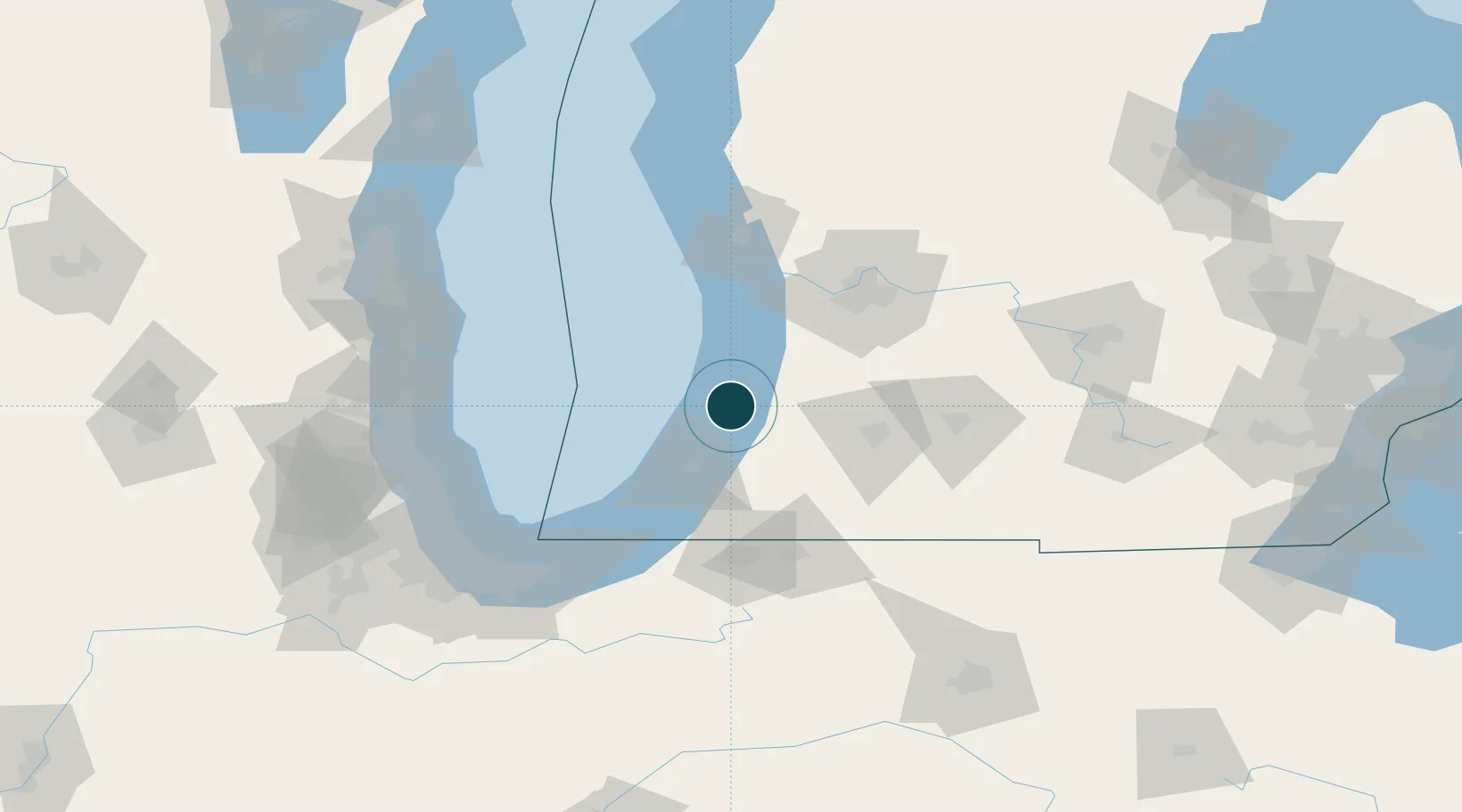
Water body
Lake Michigan; Great Lakes
Overhead limit
Yes
Pilotage
Yes
Location
Nearby Logistics Neighbours
Ports
- 1St Joseph36 km
- 2Holland44 km
- 3Grand Haven74 km
- 4Michigan City90 km
- 5Muskegon93 km
Cities
- 1Grand Junction18 km
- 2Douglas, Allegan27 km
- 3Fennville27 km
- 4Gobles35 km
- 5New Carlisle38 km
Airports
Trade Zones
- 1FTZ No. 125 South Bend81 km
- 2FTZ No. 043 Battle Creek83 km
- 3FTZ No. 189 Kent Ottawa/Muskegon Counties93 km
- 4FTZ No. 019 Omaha107 km
- 5FTZ No. 152 Burns Harbor113 km
DatabookThe Record of Consolidated Knowledge
United States beyond logistics?