Medium airport · United States
South Bend International AirportKSBN
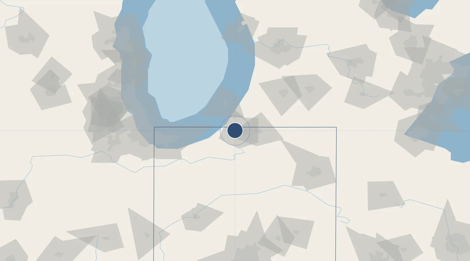
41.7083°, -86.3169°
8,412 ft
Longest runway
3
Runways
799 ft
Elevation
Runway & Layout

Radio Frequencies
ATIS
120.675 MHz
TWR
135.675 MHz
GND
121.7 MHz
CLD
121.9 MHz
CLNC DEL
CTAF
135.675 MHz
A/D
118.55 MHz
SOUTH BEND APP/DEP : 270-99° INITIAL CONTACT
A/D
124.1 MHz
SOUTH BEND APP/DEP : 100-269° SECONDARY
A/D
132.05 MHz
SOUTH BEND APP/DEP : 100-269°
CTR
118.55 MHz
CHICAGO CTR
RDO
122.6 MHz
TERRE HAUTE RDO
UNIC
122.95 MHz
UNICOM
Navaids
SB NDB Misha 341 kHz
Runways · 3
| Runway | Dimensions | Surface | True heading | Lit |
|---|---|---|---|---|
| 09R/27L | 8,412 × 150ft | Asphalt | 089° | ✓ |
| 18/36 | 7,101 × 150ft | Asphalt | 179° | ✓ |
| 09L/27R | 4,300 × 75ft | Asphalt | 089° | ✓ |
Airport Specifications
IATA code
SBN
ICAO code
KSBN
Airport class
Medium airport
Scheduled service
Yes
Runway surface
Asphalt
Served city
South Bend
Location
Nearby Logistics Neighbours
Airports
Cities
- 1Granger17 km
- 2Galien18 km
- 3Wyatt25 km
- 4Three Oaks25 km
- 5Berrien Springs25 km
Ports
- 1St Joseph47 km
- 2Michigan City49 km
- 3South Haven77 km
- 4Gary85 km
- 5Indiana Harbor93 km
Trade Zones
- 1FTZ No. 125 South Bend4 km
- 2FTZ No. 152 Burns Harbor71 km
- 3FTZ No. 182 Fort Wayne110 km
- 4FTZ No. 043 Battle Creek111 km
- 5FTZ No. 022 Chicago130 km
DatabookThe Record of Consolidated Knowledge
United States beyond logistics?