UN/LOCODE hub · United States
USNC3
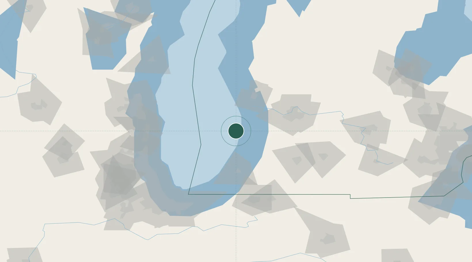
New Carlisle
42.7000°, -86.5000°
1,853
Population
3
Transport functions
Transport Functions
Rail
Road
Multimodal
Hub Profile
Place type
Populated place
Region
Indiana
Population
1,853
Time zone
America/Indiana/Indianapolis
Elevation
248 m
Location
Nearby Logistics Neighbours
Cities
- 1Douglas, Allegan26 km
- 2Holland34 km
- 3Fennville35 km
- 4West Olive38 km
- 5Hamilton41 km
Ports
- 1Holland31 km
- 2South Haven38 km
- 3Grand Haven46 km
- 4Muskegon62 km
- 5St Joseph65 km
Airports
Trade Zones
- 1FTZ No. 189 Kent Ottawa/Muskegon Counties62 km
- 2FTZ No. 019 Omaha69 km
- 3FTZ No. 043 Battle Creek108 km
- 4FTZ No. 125 South Bend115 km
- 5FTZ No. 292 Lake County121 km
DatabookThe Record of Consolidated Knowledge
United States beyond logistics?