Channel & Berth Profile
Pilotage, Tugs & Services
Pilotage compulsoryYES
Tug assistanceNO
Salvage tugsNO
Shore powerYES
Potable waterYES
Diesel bunkersYES
MedicalYES
Facilities & Capabilities
Container—
Ro-Ro—
Liquid bulk—
Dry bulk—
Oil terminal—
Break bulk—
Dry dock—
RepairsNO
BunkeringYES
Rail link—
Dangerous cargo—
ISPS security—
Harbour Specifications
Harbour size
Small
Harbour type
River (Natural)
Shelter
Fair
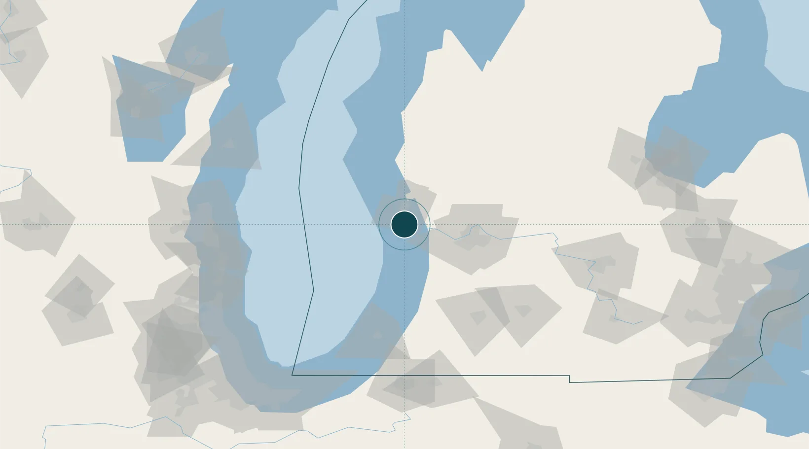
Water body
Lake Michigan; Great Lakes
Overhead limit
Yes
Pilotage
Yes
Location
Nearby Logistics Neighbours
Ports
- 1Muskegon19 km
- 2Holland33 km
- 3White Lake37 km
- 4South Haven74 km
- 5Ludington100 km
Cities
- 1Spring Lake5 km
- 2Norton Shores9 km
- 3Muskegon17 km
- 4West Olive19 km
- 5Coopersville24 km
Airports
Trade Zones
- 1FTZ No. 189 Kent Ottawa/Muskegon Counties20 km
- 2FTZ No. 019 Omaha49 km
- 3FTZ No. 043 Battle Creek112 km
- 4FTZ No. 101 Clinton County122 km
- 5FTZ No. 041 Milwaukee152 km
DatabookThe Record of Consolidated Knowledge
United States beyond logistics?