Transport Functions
Port
Road
Multimodal
Hub Profile
Region
MI
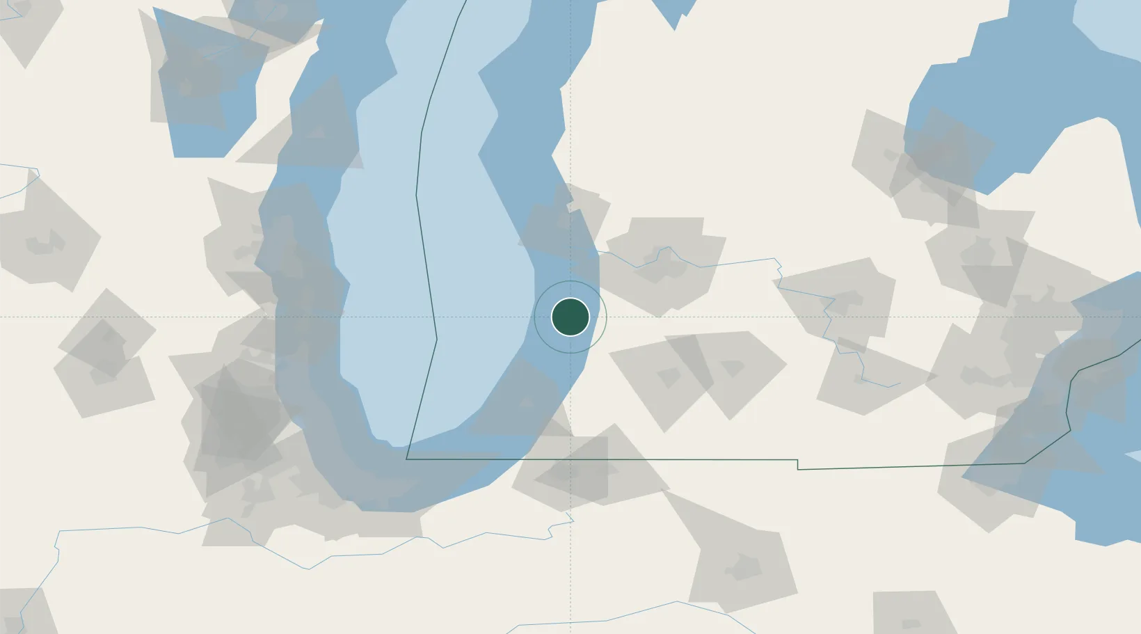
Location
Nearby Logistics Neighbours
Cities
- 1Fennville9 km
- 2Hamilton17 km
- 3Holland19 km
- 4New Carlisle26 km
- 5Grand Junction28 km
Ports
- 1Holland18 km
- 2South Haven27 km
- 3Grand Haven48 km
- 4St Joseph62 km
- 5Muskegon67 km
Airports
Trade Zones
DatabookThe Record of Consolidated Knowledge
United States beyond logistics?