Transport Functions
Multimodal
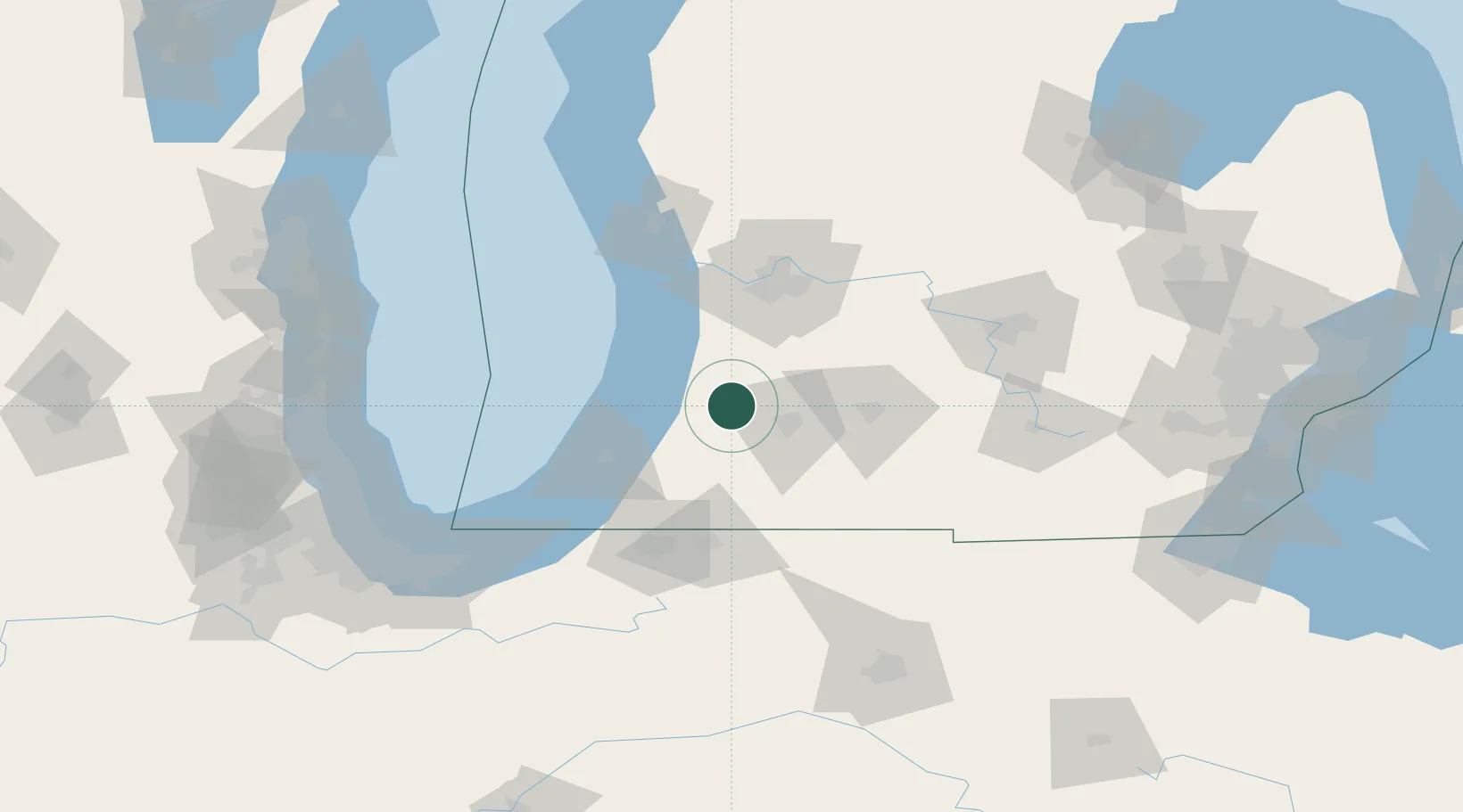
Hub Profile
Place type
Populated place
Region
Michigan
Population
808
Time zone
America/Detroit
Elevation
249 m
Location
Nearby Logistics Neighbours
Cities
- 1Grand Junction17 km
- 2Lawton21 km
- 3Hopkins31 km
- 4Fennville34 km
- 5Mendon34 km
Ports
- 1South Haven35 km
- 2Holland53 km
- 3St Joseph57 km
- 4Grand Haven85 km
- 5Muskegon104 km
Airports
Trade Zones
- 1FTZ No. 043 Battle Creek48 km
- 2FTZ No. 125 South Bend85 km
- 3FTZ No. 189 Kent Ottawa/Muskegon Counties105 km
- 4FTZ No. 101 Clinton County113 km
- 5FTZ No. 019 Omaha127 km
DatabookThe Record of Consolidated Knowledge
United States beyond logistics?