Large airport · United States
Gerald R. Ford International AirportKGRR
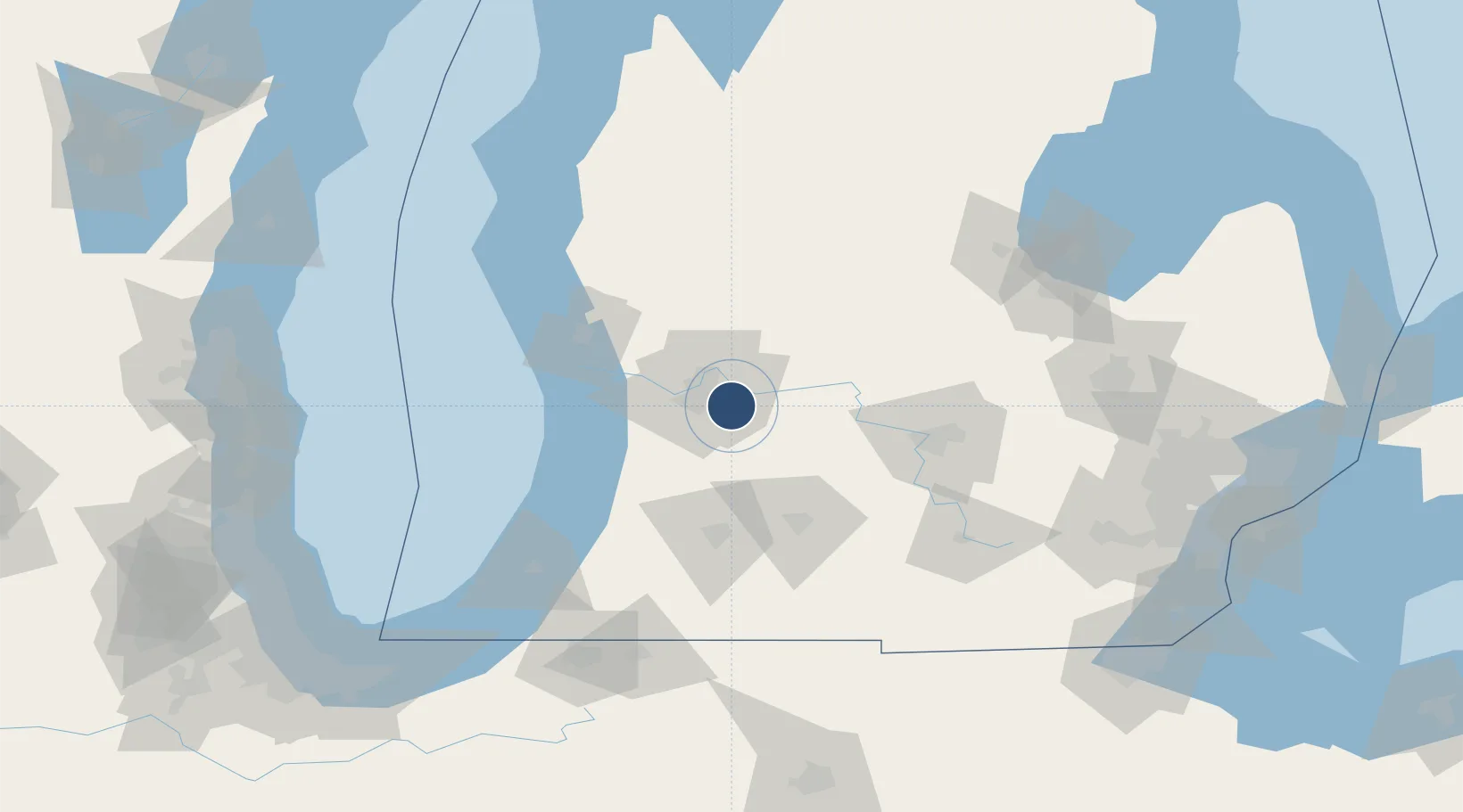
42.8808°, -85.5228°
10,001 ft
Longest runway
3
Runways
794 ft
Elevation
Runway & Layout

Radio Frequencies
ATIS
118.725 MHz
TWR
135.65 MHz
GRAND RAPIDS TWR
GND
121.8 MHz
CLD
119.3 MHz
CLNC DEL
CTAF
135.65 MHz
A/D
124.6 MHz
GRAND RAPIDS APP/DEP N
A/D
128.4 MHz
GRAND RAPIDS APP/DEP S
RDO
122.25 MHz
LANSING RDO
UNIC
122.95 MHz
UNICOM
Navaids
GR NDB Knobs 263 kHz
Runways · 3
| Runway | Dimensions | Surface | True heading | Lit |
|---|---|---|---|---|
| 08R/26L | 10,001 × 150ft | Concrete | 081° | ✓ |
| 17/35 | 8,501 × 150ft | Concrete | 171° | ✓ |
| 08L/26R | 5,001 × 100ft | Concrete | 081° | ✓ |
Airport Specifications
IATA code
GRR
ICAO code
KGRR
Airport class
Large airport
Scheduled service
Yes
Runway surface
Concrete
Served city
Grand Rapids
Location
Nearby Logistics Neighbours
Airports
Cities
- 1Caledonia11 km
- 2Grand Rapids11 km
- 3Comstock Park21 km
- 4Belmont22 km
- 5Jenison24 km
Ports
- 1Holland51 km
- 2Grand Haven61 km
- 3Muskegon72 km
- 4South Haven82 km
- 5White Lake87 km
Trade Zones
DatabookThe Record of Consolidated Knowledge
United States beyond logistics?