Medium airport · United States

Muskegon County AirportKMKG
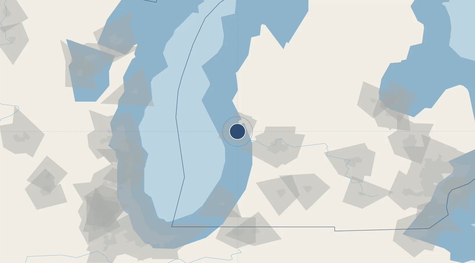
43.1695°, -86.2382°
6,500 ft
Longest runway
2
Runways
629 ft
Elevation

Runway & Layout

Muskegon County Airport runway & taxiway layout
Runway & taxiway layout — OpenStreetMap (ODbL) / OurAirports

Radio Frequencies

ATIS
124.3 MHz
TWR
126.25 MHz
GND
121.6 MHz
CTAF
126.25 MHz
A/D
118.2 MHz
APP/DEP
RDO
122.5 MHz
LANSING RDO
UNIC
122.95 MHz
UNICOM
OurAirports

Navaids

MK NDB Musko 219 kHz
MKG VORTAC Muskegon 115.20 MHz
OurAirports

Runways · 2

RunwayDimensions SurfaceTrue headingLit
06/24 6,500 × 150ft Asphalt 056°
14/32 6,100 × 150ft Asphalt 137°
OurAirports

Airport Specifications

IATA code
MKG
OurAirports
ICAO code
KMKG
OurAirports
Airport class
Medium airport
OurAirports
Scheduled service
Yes
OurAirports
Runway surface
Asphalt
OurAirports
Served city
Muskegon
OurAirports

Location

Location of KMKG
Natural Earth 10m (public domain) · Michigan · KMKG · 43.17, -86.24GoogleOSMYandex

Nearby Logistics Neighbours

Cities
  1. 1Norton Shores2 km
  2. 2Muskegon5 km
  3. 3Spring Lake13 km
  4. 4Twin Lake21 km
  5. 5Coopersville27 km
Nearest neighbours — logibook spatial index (haversine) over the source coordinates
Ports
  1. 1Muskegon8 km
  2. 2Grand Haven11 km
  3. 3White Lake25 km
  4. 4Holland44 km
  5. 5South Haven86 km
Nearest neighbours — logibook spatial index (haversine) over the source coordinates
Trade Zones
  1. 1FTZ No. 189 Kent Ottawa/Muskegon Counties9 km
  2. 2FTZ No. 019 Omaha44 km
  3. 3FTZ No. 043 Battle Creek121 km
  4. 4FTZ No. 101 Clinton County124 km
  5. 5FTZ No. 041 Milwaukee152 km
Nearest neighbours — logibook spatial index (haversine) over the source coordinates
DatabookThe Record of Consolidated Knowledge
United States beyond logistics?
Browse databook

All Sources

AirportsOurAirports
Public domain
Portsthe NGA World Port Index
Public domain (US gov)
LocationsUN/LOCODE
UN/LOCODE — free
Trade Zonesthe World Bank SEZ database
CC BY 4.0
Trade ZonesOpen Zone Map
CC BY
InfrastructureOpenStreetMap
ODbL 1.0
← United States airports