UN/LOCODE hub · United States
USFEJ
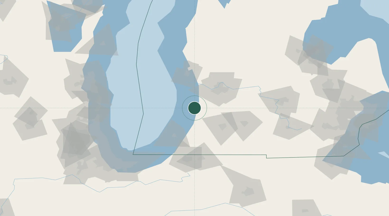
Fennville
42.6000°, -86.1000°
1,400
Population
2
Transport functions
Transport Functions
Rail
Road
Hub Profile
Place type
Populated place
Region
Michigan
Population
1,400
Time zone
America/Detroit
Elevation
202 m
Location
Nearby Logistics Neighbours
Cities
- 1Douglas, Allegan9 km
- 2Hamilton12 km
- 3Holland20 km
- 4Grand Junction22 km
- 5Hopkins29 km
Ports
- 1Holland21 km
- 2South Haven27 km
- 3Grand Haven53 km
- 4St Joseph62 km
- 5Muskegon72 km
Airports
Trade Zones
DatabookThe Record of Consolidated Knowledge
United States beyond logistics?