Channel & Berth Profile
Pilotage, Tugs & Services
Pilotage compulsoryYES
Tug assistanceNO
Salvage tugsNO
Shore powerYES
Potable waterYES
Diesel bunkersYES
MedicalYES
Facilities & Capabilities
Container—
Ro-Ro—
Liquid bulk—
Dry bulk—
Oil terminal—
Break bulk—
Dry dock—
RepairsNO
BunkeringYES
Rail linkYES
Dangerous cargo—
ISPS security—
Harbour Specifications
Harbour size
Small
Harbour type
River (Natural)
Shelter
Excellent
Water body
Lake Michigan; Great Lakes
Overhead limit
Yes
Pilotage
Yes
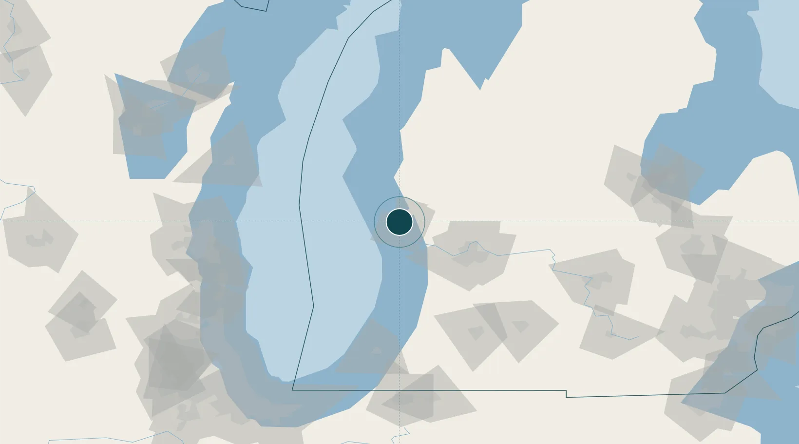
Location
Nearby Logistics Neighbours
Ports
- 1White Lake18 km
- 2Grand Haven19 km
- 3Holland51 km
- 4Ludington81 km
- 5South Haven93 km
Cities
- 1Norton Shores9 km
- 2Twin Lake16 km
- 3Spring Lake20 km
- 4Rothbury30 km
- 5Coopersville33 km
Airports
Trade Zones
DatabookThe Record of Consolidated Knowledge
United States beyond logistics?