Medium airport · United States

Battle Creek Executive Airport at Kellogg FieldKBTL
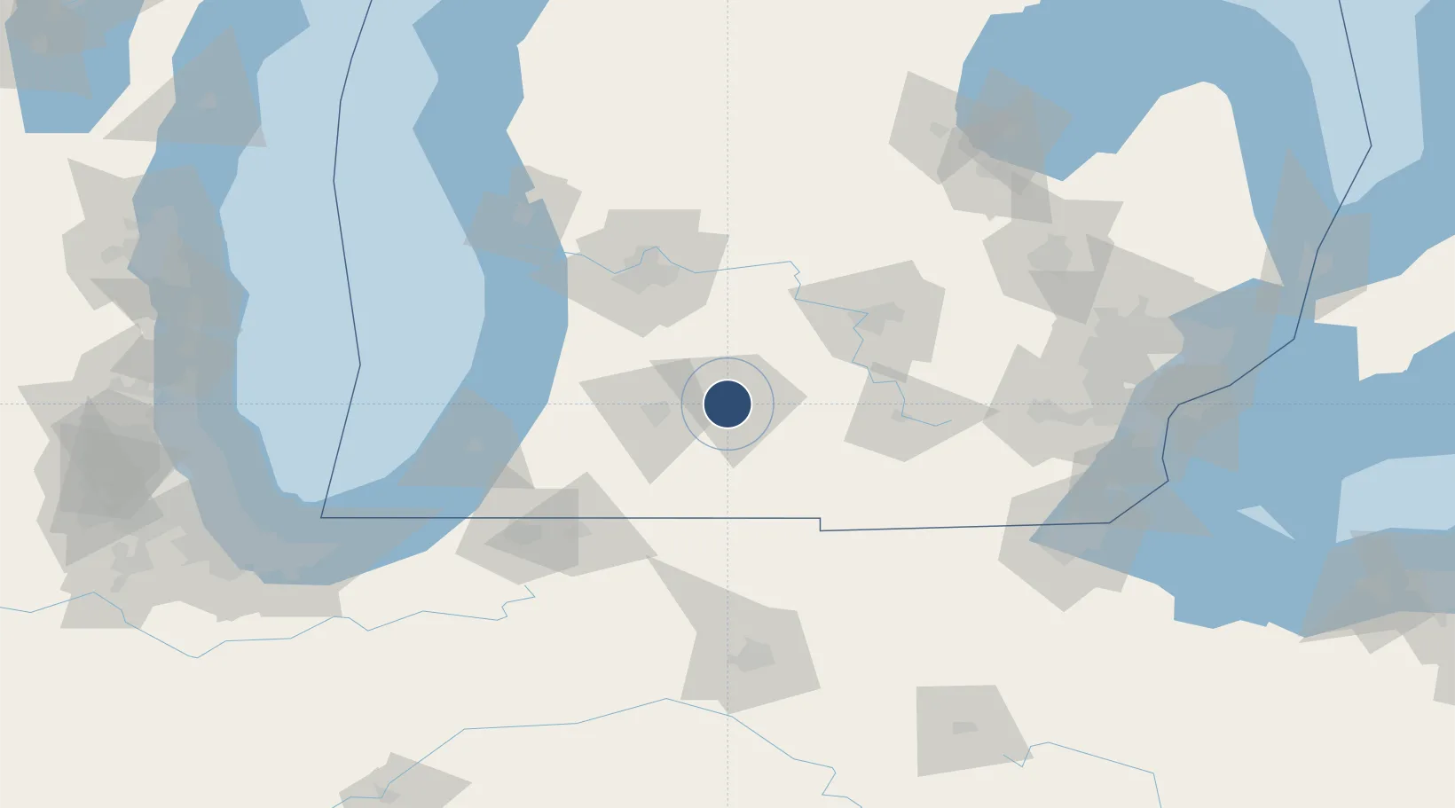
42.3073°, -85.2515°
10,004 ft
Longest runway
3
Runways
952 ft
Elevation

Runway & Layout

Battle Creek Executive Airport at Kellogg Field runway & taxiway layout
Runway & taxiway layout — OpenStreetMap (ODbL) / OurAirports

Radio Frequencies

ATIS
128.325 MHz
TWR
126.825 MHz
BATTLE CREEK TWR
GND
121.7 MHz
CTAF
118.5 MHz
A/D
119.2 MHz
KALAMAZOO APP/DEP
OPS
32.35 MHz
ANG OPS
RDO
122.2 MHz
LANSING RDO
UNIC
122.95 MHz
UNICOM
OurAirports

Navaids

BT NDB Batol 272 kHz
BTL VORTAC Battle Creek 109.40 MHz
OurAirports

Runways · 3

RunwayDimensions SurfaceTrue headingLit
05L/23R 10,004 × 150ft Asphalt 043°
13/31 4,837 × 100ft Asphalt 126°
05R/23L 4,100 × 75ft Asphalt 043°
OurAirports

Airport Specifications

IATA code
BTL
OurAirports
ICAO code
KBTL
OurAirports
Airport class
Medium airport
OurAirports
Scheduled service
No
OurAirports
Runway surface
Asphalt
OurAirports
Served city
Battle Creek
OurAirports

Location

Location of KBTL
Natural Earth 10m (public domain) · Michigan · KBTL · 42.31, -85.25GoogleOSMYandex

Nearby Logistics Neighbours

Airports
  1. 1Kalamazoo/Battle Creek International Airport26 km
  2. 2Jackson County Airport/Reynolds Field65 km
  3. 3Gerald R. Ford International Airport68 km
  4. 4Capital Region International Airport76 km
  5. 5South Bend International Airport110 km
Nearest neighbours — logibook spatial index (haversine) over the source coordinates
Cities
  1. 1Springfield, Calhoun2 km
  2. 2Mendon18 km
  3. 3Athens25 km
  4. 4Vicksburg30 km
  5. 5Tekonsha33 km
Nearest neighbours — logibook spatial index (haversine) over the source coordinates
Ports
  1. 1South Haven85 km
  2. 2Holland90 km
  3. 3St Joseph104 km
  4. 4Grand Haven117 km
  5. 5Muskegon132 km
Nearest neighbours — logibook spatial index (haversine) over the source coordinates
Trade Zones
  1. 1FTZ No. 043 Battle Creek4 km
  2. 2FTZ No. 101 Clinton County82 km
  3. 3FTZ No. 125 South Bend115 km
  4. 4FTZ No. 284 Genesee County130 km
  5. 5FTZ No. 189 Kent Ottawa/Muskegon Counties134 km
Nearest neighbours — logibook spatial index (haversine) over the source coordinates
DatabookThe Record of Consolidated Knowledge
United States beyond logistics?
Browse databook

All Sources

AirportsOurAirports
Public domain
Portsthe NGA World Port Index
Public domain (US gov)
LocationsUN/LOCODE
UN/LOCODE — free
Trade Zonesthe World Bank SEZ database
CC BY 4.0
Trade ZonesOpen Zone Map
CC BY
InfrastructureOpenStreetMap
ODbL 1.0
← United States airports