Medium airport · United States
Kalamazoo/Battle Creek International AirportKAZO
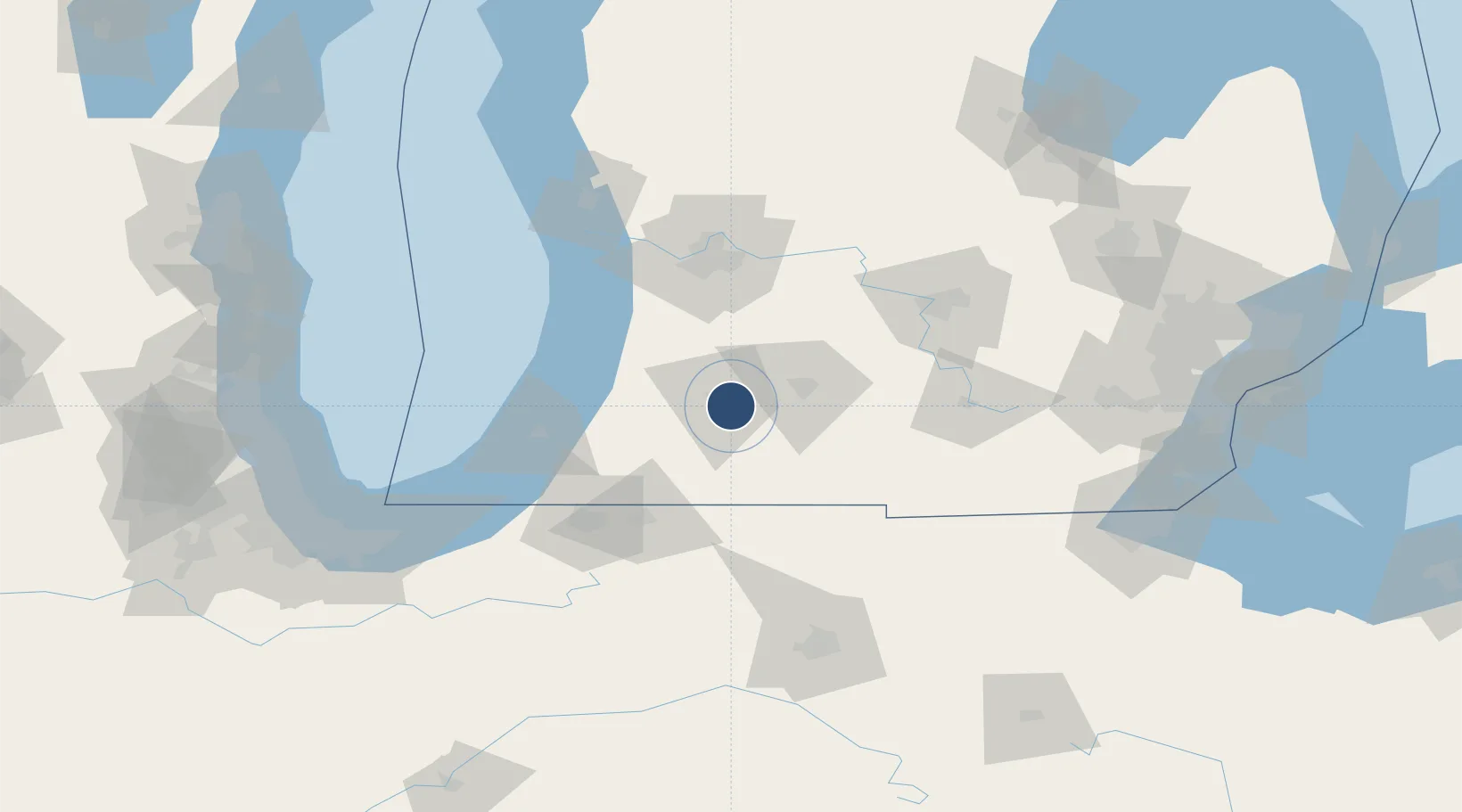
42.2321°, -85.5496°
6,502 ft
Longest runway
3
Runways
874 ft
Elevation
Runway & Layout

Radio Frequencies
ATIS
127.25 MHz
TWR
118.3 MHz
GND
121.9 MHz
CLD
121.75 MHz
CLNC DEL
CTAF
118.3 MHz
A/D
119.2 MHz
APP/DEP
RDO
109 MHz
LANSING RDO
UNIC
122.95 MHz
UNICOM
Navaids
AZ NDB Austn 371 kHz
AZO VOR-DME Kalamazoo 109.00 MHz
Runways · 3
| Runway | Dimensions | Surface | True heading | Lit |
|---|---|---|---|---|
| 17/35 | 6,502 × 150ft | Asphalt | 171° | ✓ |
| 05/23 | 3,438 × 100ft | Asphalt | 045° | ✓ |
| 09/27 | 2,800 × 60ft | Asphalt | 090° | ✓ |
Airport Specifications
IATA code
AZO
ICAO code
KAZO
Airport class
Medium airport
Scheduled service
Yes
Runway surface
Asphalt
Served city
Kalamazoo
Location
Nearby Logistics Neighbours
Airports
Cities
- 1Vicksburg13 km
- 2Mendon19 km
- 3Lawton25 km
- 4Springfield, Calhoun28 km
- 5Gobles29 km
Ports
- 1South Haven63 km
- 2Holland78 km
- 3St Joseph78 km
- 4Grand Haven108 km
- 5Michigan City125 km
Trade Zones
DatabookThe Record of Consolidated Knowledge
United States beyond logistics?