Seaplane base · United States
Tenakee Seaplane BaseTKE
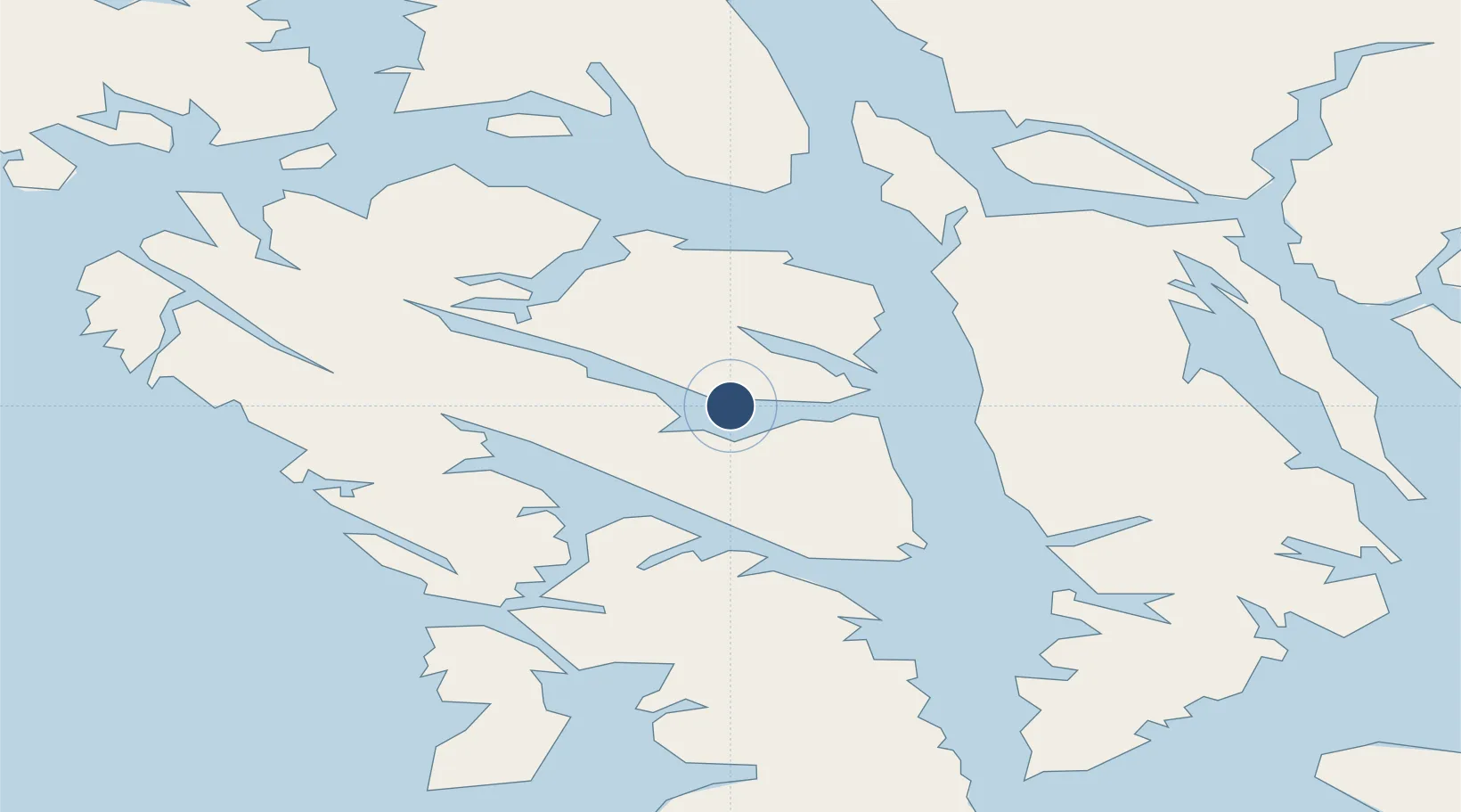
57.7797°, -135.2180°
10,000 ft
Longest runway
1
Runways
Runway & Layout

Runways · 1
| Runway | Dimensions | Surface | True heading | Lit |
|---|---|---|---|---|
| E/W | 10,000 × 7000ft | Water | — | — |
Airport Specifications
IATA code
TKE
ICAO code
TKE
Airport class
Seaplane base
Scheduled service
Yes
Runway surface
Water
Served city
Tenakee Springs
Location
Nearby Logistics Neighbours
Airports
- 1Chatham Seaplane Base34 km
- 2Hoonah Airport37 km
- 3Angoon Seaplane Base50 km
- 4Funter Bay Seaplane Base56 km
- 5Pelican Seaplane Base63 km
Cities
- 1Pleasant Island68 km
- 2Juneau75 km
- 3Tyee91 km
- 4Neets Bay313 km
- 5Ward Cove341 km
Ports
- 1Tenakee Springs1 km
- 2Chatham34 km
- 3Hoonah40 km
- 4Hawk Inlet47 km
- 5Funter56 km
Trade Zones
- 1FTZ No. 108 Valdez730 km
- 2PrInce George Logistics Park887 km
- 3FTZ No. 195 Fairbanks1027 km
- 4FTZ Vancouver Island1238 km
- 5FTZ No. 128 Whatcom County1301 km
DatabookThe Record of Consolidated Knowledge
United States beyond logistics?