Channel & Berth Profile
Pilotage, Tugs & Services
Pilotage availableYES
Shore powerNO
Facilities & Capabilities
Container—
Ro-Ro—
Liquid bulk—
Dry bulk—
Oil terminal—
Break bulk—
Dry dock—
Repairs—
Bunkering—
Rail link—
Dangerous cargo—
ISPS security—
Harbour Specifications
Harbour size
Very Small
Harbour type
Coastal (Natural)
Shelter
Fair
Water body
Alaska-Canada coastal waters; North Pacific Ocean
Tidal range
3.7 m
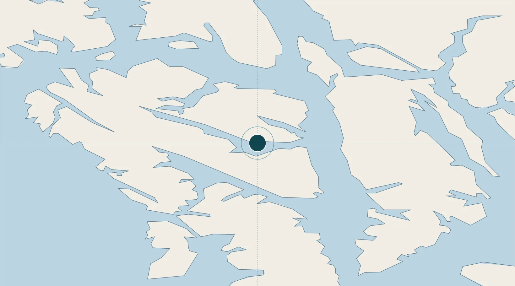
Location
Nearby Logistics Neighbours
Ports
- 1Chatham34 km
- 2Hoonah40 km
- 3Hawk Inlet46 km
- 4Funter55 km
- 5Pelican64 km
Cities
- 1Pleasant Island68 km
- 2Juneau74 km
- 3Tyee90 km
- 4Neets Bay312 km
- 5Ward Cove340 km
Airports
- 1Tenakee Seaplane Base1 km
- 2Chatham Seaplane Base34 km
- 3Hoonah Airport37 km
- 4Angoon Seaplane Base49 km
- 5Funter Bay Seaplane Base55 km
Trade Zones
- 1FTZ No. 108 Valdez731 km
- 2PrInce George Logistics Park886 km
- 3FTZ No. 195 Fairbanks1027 km
- 4FTZ Vancouver Island1237 km
- 5FTZ No. 128 Whatcom County1300 km
DatabookThe Record of Consolidated Knowledge
United States beyond logistics?