Seaplane base · United States
Excursion Inlet Seaplane BaseEXI
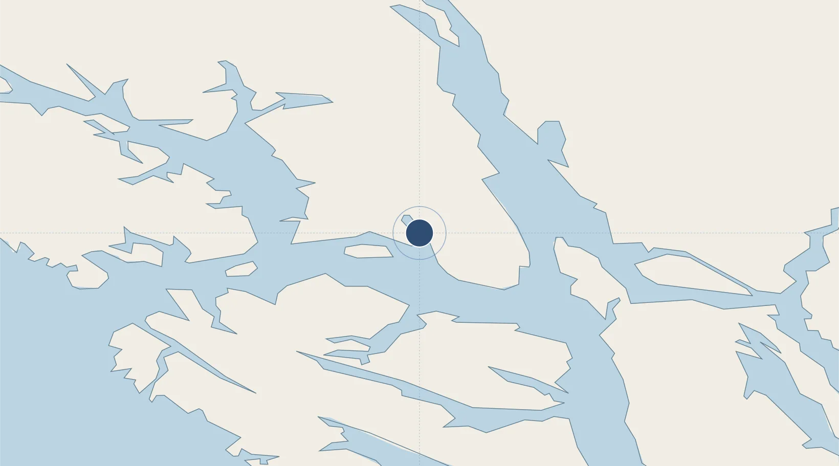
58.4205°, -135.4490°
1,000 ft
Longest runway
1
Runways
0 ft
Elevation
Runway & Layout
Runways · 1
| Runway | Dimensions | Surface | True heading | Lit |
|---|---|---|---|---|
| NW/SE | 1,000 × 1000ft | Water | — | — |
Airport Specifications
IATA code
EXI
Airport class
Seaplane base
Scheduled service
Yes
Runway surface
Water
Served city
Excursion Inlet
Location
Nearby Logistics Neighbours
Airports
- 1Gustavus Airport15 km
- 2Point Retreat CG Light Station Helipad29 km
- 3Hoonah Airport36 km
- 4Funter Bay Seaplane Base37 km
- 5Juneau International Airport52 km
Cities
- 1Pleasant Island13 km
- 2Juneau60 km
- 3Tyee162 km
- 4Neets Bay374 km
- 5Ward Cove405 km
Ports
- 1Excursion Inlet0 km
- 2Hoonah34 km
- 3Funter37 km
- 4Hawk Inlet53 km
- 5Elfin Cove58 km
Trade Zones
- 1FTZ No. 108 Valdez680 km
- 2FTZ No. 160 Anchorage863 km
- 3PrInce George Logistics Park930 km
- 4FTZ No. 195 Fairbanks961 km
- 5FTZ Vancouver Island1298 km
DatabookThe Record of Consolidated Knowledge
United States beyond logistics?