Medium airport · United States

Gustavus AirportPAGS

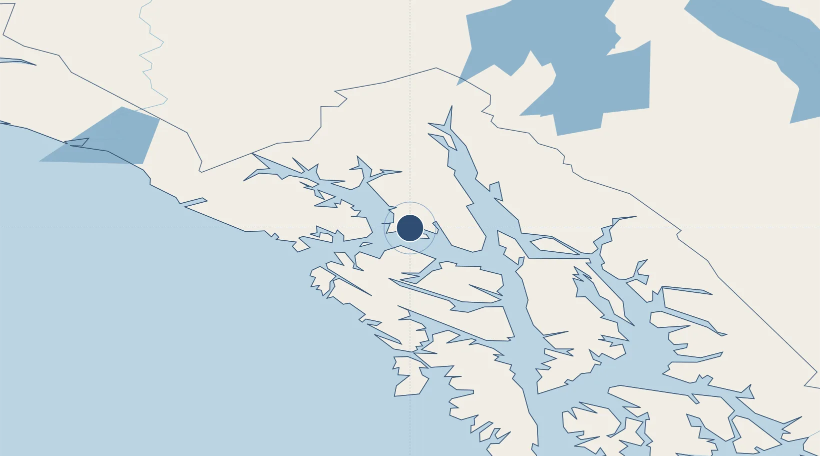
58.4253°, -135.7070°
6,720 ft
Longest runway
2
Runways
35 ft
Elevation

Runway & Layout

Gustavus Airport runway & taxiway layout
Runway & taxiway layout — OpenStreetMap (ODbL) / OurAirports

Radio Frequencies

AWOS
125.9 MHz
AWOS 3
CTAF
122.5 MHz
CNTR
133.2 MHz
ANCHORAGE CNTR
RCO
122.65 MHz
JUNEAU RDO
OurAirports

Navaids

GAV NDB Gustavus 219 kHz
OurAirports

Runways · 2

RunwayDimensions SurfaceTrue headingLit
11/29 6,720 × 150ft Asphalt 135°
02/20 3,010 × 60ft Asphalt 041°
OurAirports

Airport Specifications

IATA code
GST
OurAirports
ICAO code
PAGS
OurAirports
Airport class
Medium airport
OurAirports
Scheduled service
Yes
OurAirports
Runway surface
Asphalt
OurAirports
Served city
Gustavus
OurAirports

Location

Location of PAGS
Natural Earth 10m (public domain) · Alaska · PAGS · 58.43, -135.71GoogleOSMYandex

Nearby Logistics Neighbours

Airports
  1. 1Excursion Inlet Seaplane Base15 km
  2. 2Hoonah Airport41 km
  3. 3Point Retreat CG Light Station Helipad44 km
  4. 4Elfin Cove Seaplane Base45 km
  5. 5Funter Bay Seaplane Base51 km
Nearest neighbours — logibook spatial index (haversine) over the source coordinates
Cities
  1. 1Pleasant Island9 km
  2. 2Juneau75 km
  3. 3Tyee168 km
  4. 4Neets Bay384 km
  5. 5Ward Cove414 km
Nearest neighbours — logibook spatial index (haversine) over the source coordinates
Ports
  1. 1Excursion Inlet15 km
  2. 2Hoonah38 km
  3. 3Elfin Cove45 km
  4. 4Funter51 km
  5. 5Pelican60 km
Nearest neighbours — logibook spatial index (haversine) over the source coordinates
Trade Zones
  1. 1FTZ No. 108 Valdez667 km
  2. 2FTZ No. 160 Anchorage850 km
  3. 3PrInce George Logistics Park944 km
  4. 4FTZ No. 195 Fairbanks952 km
  5. 5FTZ Vancouver Island1309 km
Nearest neighbours — logibook spatial index (haversine) over the source coordinates
DatabookThe Record of Consolidated Knowledge
United States beyond logistics?
Browse databook

All Sources

AirportsOurAirports
Public domain
Portsthe NGA World Port Index
Public domain (US gov)
LocationsUN/LOCODE
UN/LOCODE — free
Trade Zonesthe World Bank SEZ database
CC BY 4.0
Trade ZonesOpen Zone Map
CC BY
InfrastructureOpenStreetMap
ODbL 1.0
← United States airports