Small airport · Canada

Atlin AirportCYSQ

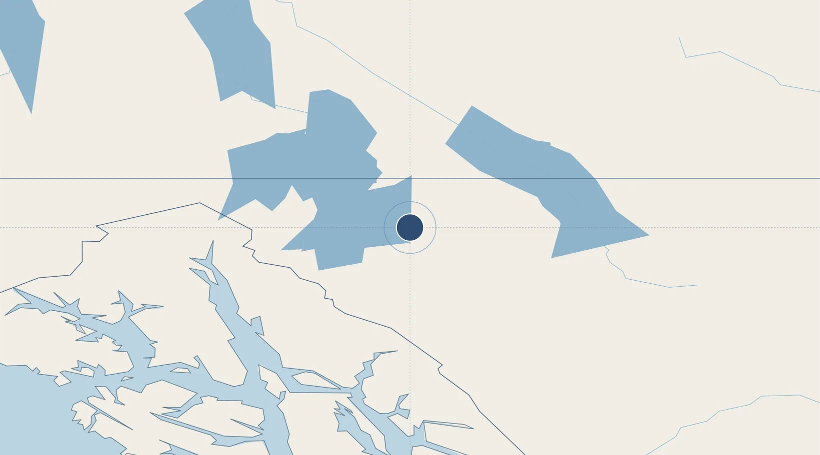
59.5783°, -133.6689°
3,950 ft
Longest runway
1
Runways
2,348 ft
Elevation

Runway & Layout

Atlin Airport runway & taxiway layout
Runway & taxiway layout — OpenStreetMap (ODbL) / OurAirports

Runways · 1

RunwayDimensions SurfaceTrue headingLit
19/01 3,950 × 75ft GRVL
OurAirports

Airport Specifications

ICAO code
CYSQ
OurAirports
Airport class
Small airport
OurAirports
Scheduled service
Yes
OurAirports
Runway surface
GRVL
OurAirports
Served city
Atlin
OurAirports

Location

Location of CYSQ
Natural Earth 10m (public domain) · British Columbia · CYSQ · 59.58, -133.67GoogleOSMYandex

Nearby Logistics Neighbours

Airports
  1. 1Teslin Airport84 km
  2. 2Skagway Airport94 km
  3. 3Haines Airport111 km
  4. 4Juneau International Airport146 km
  5. 5Whitehorse / Erik Nielsen International Airport148 km
Nearest neighbours — logibook spatial index (haversine) over the source coordinates
Cities
  1. 1Juneau147 km
  2. 2Pleasant Island177 km
  3. 3Tyee286 km
  4. 4Neets Bay440 km
  5. 5Ward Cove479 km
Nearest neighbours — logibook spatial index (haversine) over the source coordinates
Ports
  1. 1Skagway95 km
  2. 2Haines107 km
  3. 3Juneau149 km
  4. 4Dupont153 km
  5. 5Funter164 km
Nearest neighbours — logibook spatial index (haversine) over the source coordinates
Trade Zones
  1. 1FTZ No. 108 Valdez718 km
  2. 2PrInce George Logistics Park914 km
  3. 3FTZ No. 195 Fairbanks931 km
  4. 4FTZ Vancouver Island1333 km
  5. 5FTZ No. 128 Whatcom County1395 km
Nearest neighbours — logibook spatial index (haversine) over the source coordinates
DatabookThe Record of Consolidated Knowledge
Canada beyond logistics?
Browse databook

All Sources

AirportsOurAirports
Public domain
Portsthe NGA World Port Index
Public domain (US gov)
LocationsUN/LOCODE
UN/LOCODE — free
Trade Zonesthe World Bank SEZ database
CC BY 4.0
Trade ZonesOpen Zone Map
CC BY
InfrastructureOpenStreetMap
ODbL 1.0
← Canada airports