Transport Functions
Port
Hub Profile
Place type
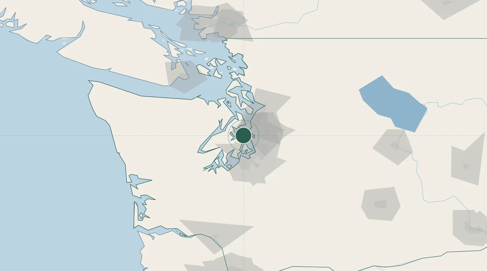
Populated place
Region
Washington
Time zone
America/Los_Angeles
Elevation
13 m
Location
Nearby Logistics Neighbours
Cities
- 1Bainbridge Island2 km
- 2Manchester6 km
- 3Port Madison12 km
- 4Port Orchard13 km
- 5Keyport14 km
Ports
- 1Bremerton12 km
- 2Port Orchard13 km
- 3Seattle13 km
- 4Keyport14 km
- 5Silverdale16 km
Airports
Trade Zones
- 1FTZ No. 005 Seattle2 km
- 2FTZ No. 086 Tacoma38 km
- 3FTZ No. 212 Tacoma39 km
- 4FTZ No. 085 Everett49 km
- 5FTZ No. 216 Olympia70 km
DatabookThe Record of Consolidated Knowledge
United States beyond logistics?