Large airport · United States
Seattle–Tacoma International AirportKSEA
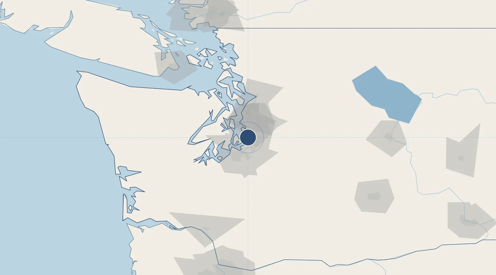
47.4479°, -122.3103°
11,901 ft
Longest runway
3
Runways
433 ft
Elevation
Runway & Layout

Radio Frequencies
TWR
119.9 MHz
Seattle Tower
GND
121.7 MHz
Seattle Ground
CLD
128 MHz
CLNC DEL
CTAF
118.5 MHz
Oshosh traffic
A/D
119.2 MHz
APP/DEP
D-ATIS
118 MHz
Digital ATIS
UNIC
122.95 MHz
UNICOM
Navaids
ODD NDB Dondo 224 kHz
SEA VORTAC Seattle 116.80 MHz
SZ NDB Parkk 281 kHz
Runways · 3
| Runway | Dimensions | Surface | True heading | Lit |
|---|---|---|---|---|
| 16L/34R | 11,901 × 150ft | Asphalt / concrete | 180° | ✓ |
| 16C/34C | 9,426 × 150ft | Asphalt / concrete | 180° | ✓ |
| 16R/34L | 8,500 × 150ft | Asphalt / concrete | 180° | ✓ |
Airport Specifications
IATA code
SEA
ICAO code
KSEA
Airport class
Large airport
Scheduled service
Yes
Runway surface
Asphalt / concrete
Served city
Seattle
Location
Nearby Logistics Neighbours
Airports
Cities
- 1Burien3 km
- 2Des Moines5 km
- 3Seattle10 km
- 4Boeing Field Apt11 km
- 5Vashon Island12 km
Ports
- 1Seattle17 km
- 2Tacoma20 km
- 3Port Orchard26 km
- 4Bremerton29 km
- 5Keyport36 km
Trade Zones
- 1FTZ No. 086 Tacoma22 km
- 2FTZ No. 005 Seattle22 km
- 3FTZ No. 212 Tacoma28 km
- 4FTZ No. 085 Everett62 km
- 5FTZ No. 216 Olympia65 km
DatabookThe Record of Consolidated Knowledge
United States beyond logistics?