Transport Functions
Port
Road
Multimodal
Hub Profile
Place type
Urban district
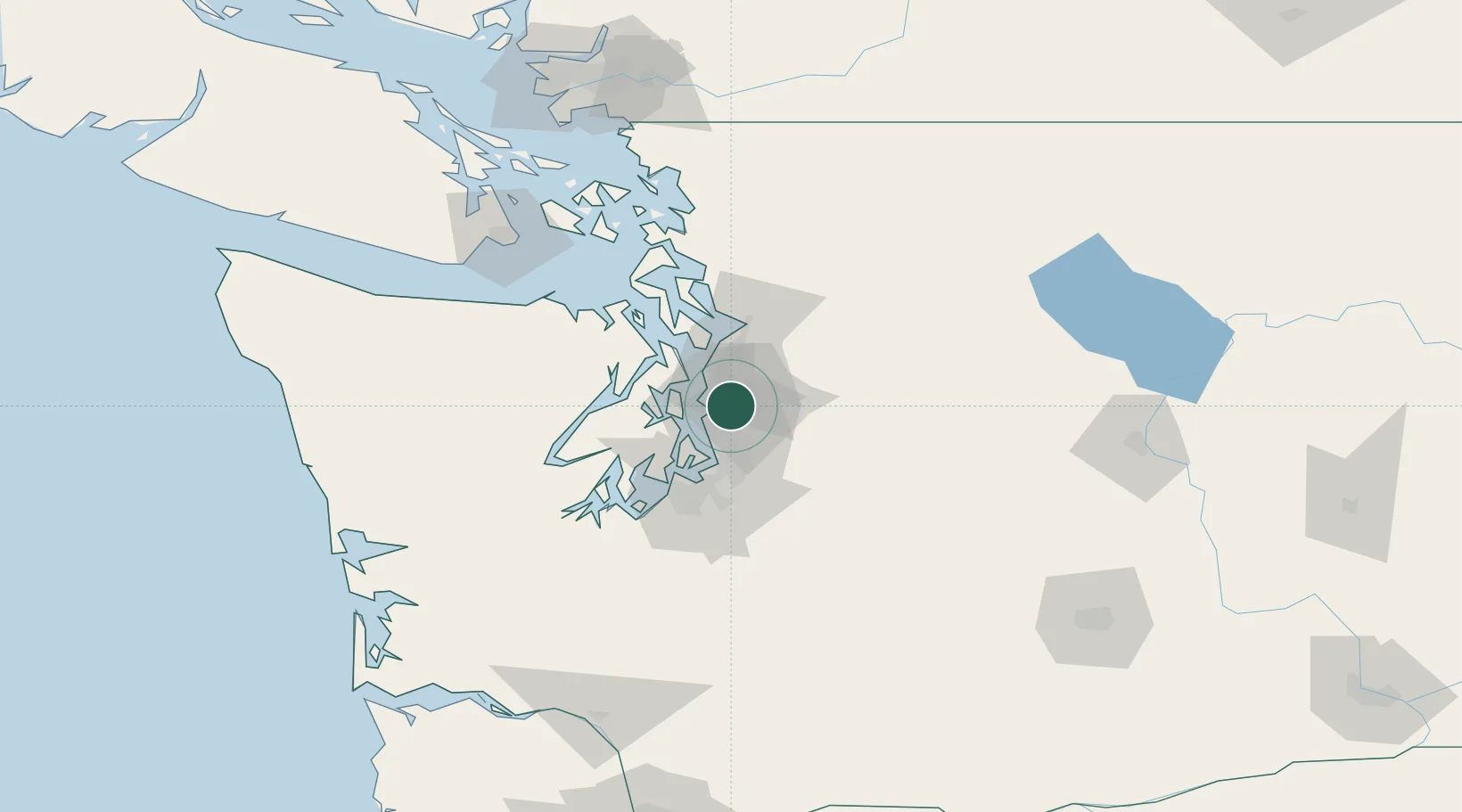
Region
Washington
Time zone
America/Los_Angeles
Elevation
14 m
Location
Nearby Logistics Neighbours
Cities
- 1Seattle11 km
- 2Boeing Field Apt11 km
- 3Shoreline14 km
- 4Bothell14 km
- 5Bainbridge Island18 km
Ports
- 1Seattle6 km
- 2Point Wells19 km
- 3Keyport27 km
- 4Port Orchard30 km
- 5Bremerton30 km
Airports
Trade Zones
- 1FTZ No. 005 Seattle16 km
- 2FTZ No. 085 Everett41 km
- 3FTZ No. 086 Tacoma42 km
- 4FTZ No. 212 Tacoma47 km
- 5FTZ No. 216 Olympia83 km
DatabookThe Record of Consolidated Knowledge
United States beyond logistics?