UN/LOCODE hub · United States
USSEA
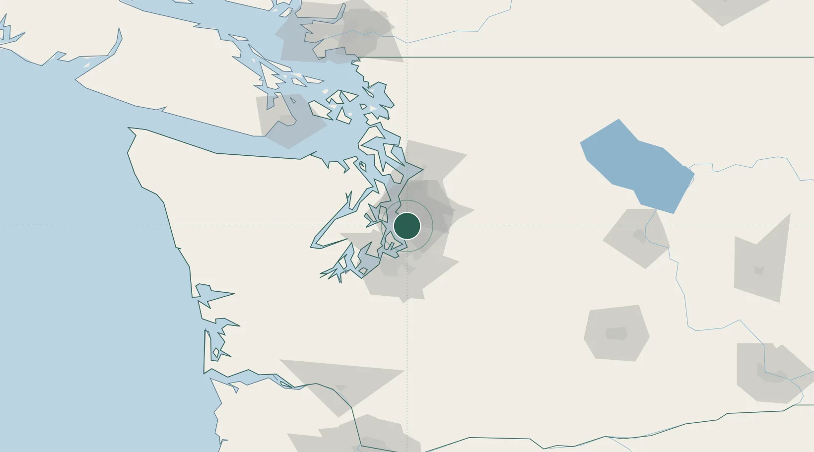
Seattle
47.5408°, -122.3295°
780,995
Population
3
Transport functions
3
Container terminals
Transport Functions
Port
Airport
Postal
Hub Profile
Place type
Provincial seat
Region
Washington
Population
780,995
Time zone
America/Los_Angeles
Elevation
56 m
Logistics facilities
99
Container terminals
3
Location
Nearby Logistics Neighbours
Cities
- 1Boeing Field Apt7 km
- 2Burien8 km
- 3Madison Park11 km
- 4Port Blakely14 km
- 5Bainbridge Island15 km
Ports
- 1Port Orchard23 km
- 2Bremerton24 km
- 3Point Wells28 km
- 4Keyport28 km
- 5Tacoma29 km
Airports
Trade Zones
- 1FTZ No. 005 Seattle14 km
- 2FTZ No. 086 Tacoma31 km
- 3FTZ No. 212 Tacoma36 km
- 4FTZ No. 085 Everett52 km
- 5FTZ No. 216 Olympia72 km
DatabookThe Record of Consolidated Knowledge
United States beyond logistics?