Transport Functions
Multimodal
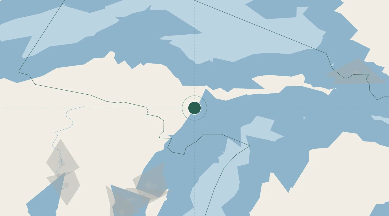
Hub Profile
Place type
Populated place
Region
Michigan
Time zone
America/Detroit
Elevation
265 m
Location
Nearby Logistics Neighbours
Cities
- 1Wilson28 km
- 2Norway53 km
- 3Cedar River58 km
- 4Quinnesec58 km
- 5Stephenson64 km
Ports
- 1Gladstone20 km
- 2Escanaba23 km
- 3Marquette69 km
- 4Munising72 km
- 5Presque Isle73 km
Airports
- 1Delta County Airport25 km
- 2Marquette/Sawyer International Airport50 km
- 3Ford Airport68 km
- 4Beaver Island Airport133 km
- 5Welke Airport136 km
Trade Zones
- 1FTZ No. 167 Brown County181 km
- 2FTZ No. 016 Sault Ste. Marie228 km
- 3FTZ No. 019 Omaha294 km
- 4FTZ No. 189 Kent Ottawa/Muskegon Counties308 km
- 5FTZ No. 041 Milwaukee325 km
DatabookThe Record of Consolidated Knowledge
United States beyond logistics?