Medium airport · United States
Marquette/Sawyer International AirportKSAW
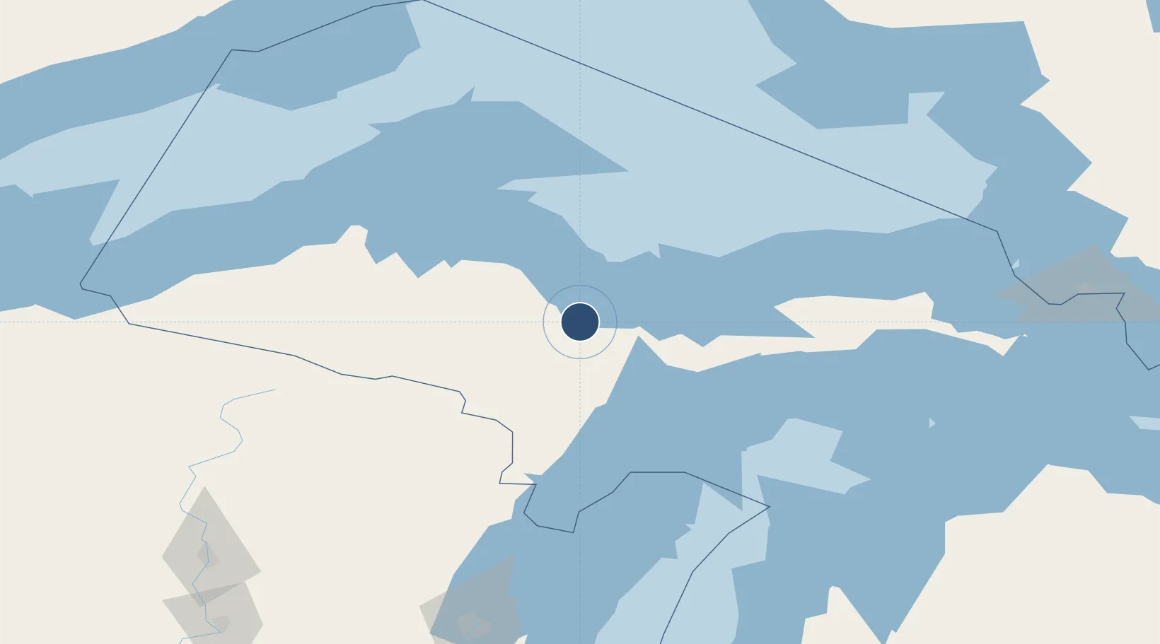
46.3515°, -87.3959°
9,072 ft
Longest runway
1
Runways
1,221 ft
Elevation
Runway & Layout

Radio Frequencies
AWOS
118.375 MHz
AWOS 3
TWR
119.975 MHz
GND
121.65 MHz
CTAF
119.975 MHz
CNTR
119.1 MHz
MINNEAPOLIS CNTR
RDO
123.6 MHz
GREEN BAY RDO
UNIC
122.7 MHz
UNICOM
Navaids
SAW VOR-DME Sawyer 117.10 MHz
SO NDB Suomi 410 kHz
Runways · 1
| Runway | Dimensions | Surface | True heading | Lit |
|---|---|---|---|---|
| 01/19 | 9,072 × 150ft | Asphalt / concrete | 009° | ✓ |
Airport Specifications
IATA code
MQT
ICAO code
KSAW
Airport class
Medium airport
Scheduled service
Yes
Runway surface
Asphalt / concrete
Served city
Gwinn
Location
Nearby Logistics Neighbours
Airports
- 1Delta County Airport74 km
- 2Ford Airport81 km
- 3Houghton County Memorial Airport123 km
- 4Beaver Island Airport159 km
- 5Welke Airport161 km
Ports
- 1Marquette20 km
- 2Presque Isle24 km
- 3Munising58 km
- 4Gladstone63 km
- 5Escanaba70 km
Trade Zones
- 1FTZ No. 167 Brown County222 km
- 2FTZ No. 016 Sault Ste. Marie229 km
- 3FTZ No. 019 Omaha344 km
- 4FTZ No. 189 Kent Ottawa/Muskegon Counties357 km
- 5FTZ No. 041 Milwaukee371 km
DatabookThe Record of Consolidated Knowledge
United States beyond logistics?