Seaport · United States

MunisingUSMGS

46.4167°, -86.6500°
4.9 m
Channel depth

Channel & Berth Profile

SEA LEVEL (CD)CHANNEL BEDChannel · 4.9 mAnchorage · 6.4 mCargo pier · 6.4 m
NGA World Port Index

Pilotage, Tugs & Services

Pilotage compulsoryYES
Potable waterYES
Diesel bunkersYES
MedicalYES
NGA World Port Index

Facilities & Capabilities

Container
Ro-Ro
Liquid bulk
Dry bulk
Oil terminal
Break bulk
Dry dock
RepairsNO
Bunkering
Rail link
Dangerous cargo
ISPS security
NGA World Port Index

Harbour Specifications
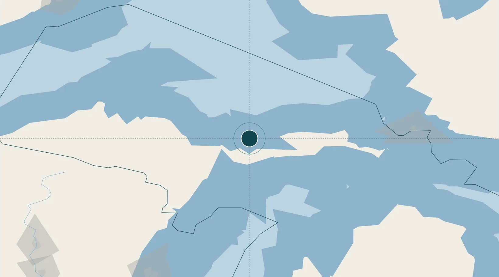
Harbour size
Very Small
NGA World Port Index
Harbour type
Coastal (Natural)
NGA World Port Index
Shelter
Good
NGA World Port Index
Water body
Lake Superior; Great Lakes
NGA World Port Index
Pilotage
Yes
NGA World Port Index

Location

Location of USMGS
Natural Earth 10m (public domain) · Michigan · USMGS · 46.42, -86.65GoogleOSMYandex

Nearby Logistics Neighbours

Ports
  1. 1Marquette58 km
  2. 2Presque Isle59 km
  3. 3Manistique60 km
  4. 4Gladstone69 km
  5. 5Escanaba79 km
Nearest neighbours — logibook spatial index (haversine) over the source coordinates
Cities
  1. 1Gulliver70 km
  2. 2Kingsley72 km
  3. 3Wilson100 km
  4. 4Sagola115 km
  5. 5Norway119 km
Nearest neighbours — logibook spatial index (haversine) over the source coordinates
Airports
  1. 1Marquette/Sawyer International Airport58 km
  2. 2Delta County Airport84 km
  3. 3Beaver Island Airport116 km
  4. 4Welke Airport117 km
  5. 5Ford Airport131 km
Nearest neighbours — logibook spatial index (haversine) over the source coordinates
Trade Zones
  1. 1FTZ No. 016 Sault Ste. Marie172 km
  2. 2FTZ No. 167 Brown County252 km
  3. 3FTZ No. 019 Omaha347 km
  4. 4FTZ No. 189 Kent Ottawa/Muskegon Counties355 km
  5. 5FTZ No. 041 Milwaukee391 km
Nearest neighbours — logibook spatial index (haversine) over the source coordinates
DatabookThe Record of Consolidated Knowledge
United States beyond logistics?
Browse databook

All Sources

Portsthe NGA World Port Index
Public domain (US gov)
AirportsOurAirports
Public domain
LocationsUN/LOCODE
UN/LOCODE — free
Trade Zonesthe World Bank SEZ database
CC BY 4.0
Trade ZonesOpen Zone Map
CC BY
← United States ports