Transport Functions
Rail
Road
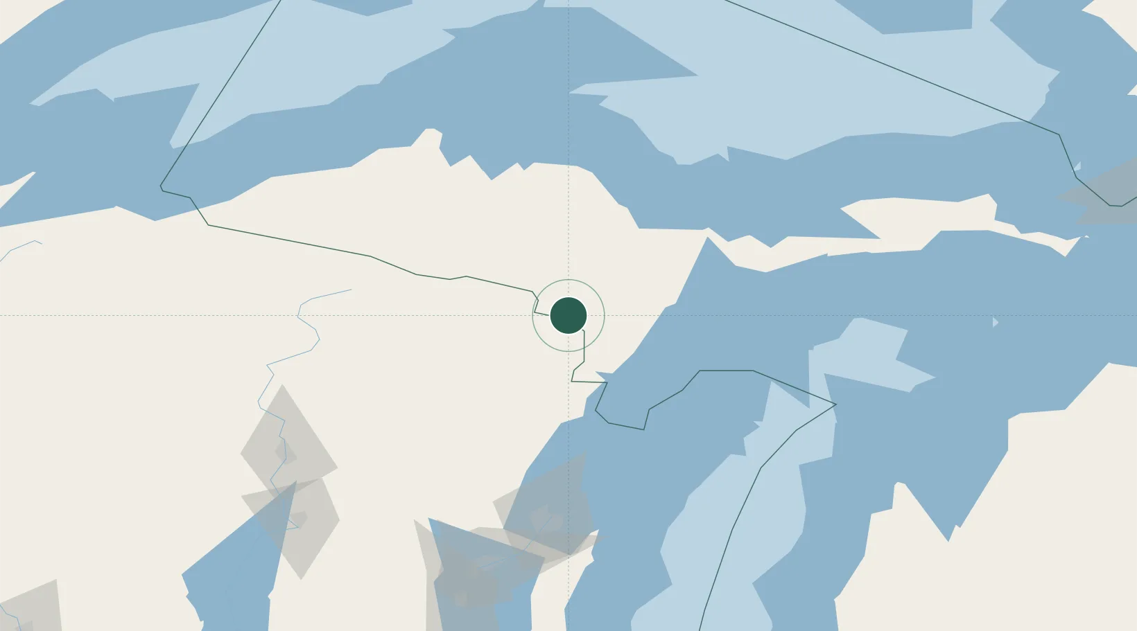
Hub Profile
Place type
Populated place
Region
Michigan
Population
2,798
Time zone
America/Menominee
Elevation
291 m
Location
Nearby Logistics Neighbours
Airports
Trade Zones
- 1FTZ No. 167 Brown County150 km
- 2FTZ No. 016 Sault Ste. Marie280 km
- 3FTZ No. 019 Omaha291 km
- 4FTZ No. 041 Milwaukee304 km
- 5FTZ No. 189 Kent Ottawa/Muskegon Counties311 km
DatabookThe Record of Consolidated Knowledge
United States beyond logistics?