Small airport · United States
Beaver Island AirportKSJX
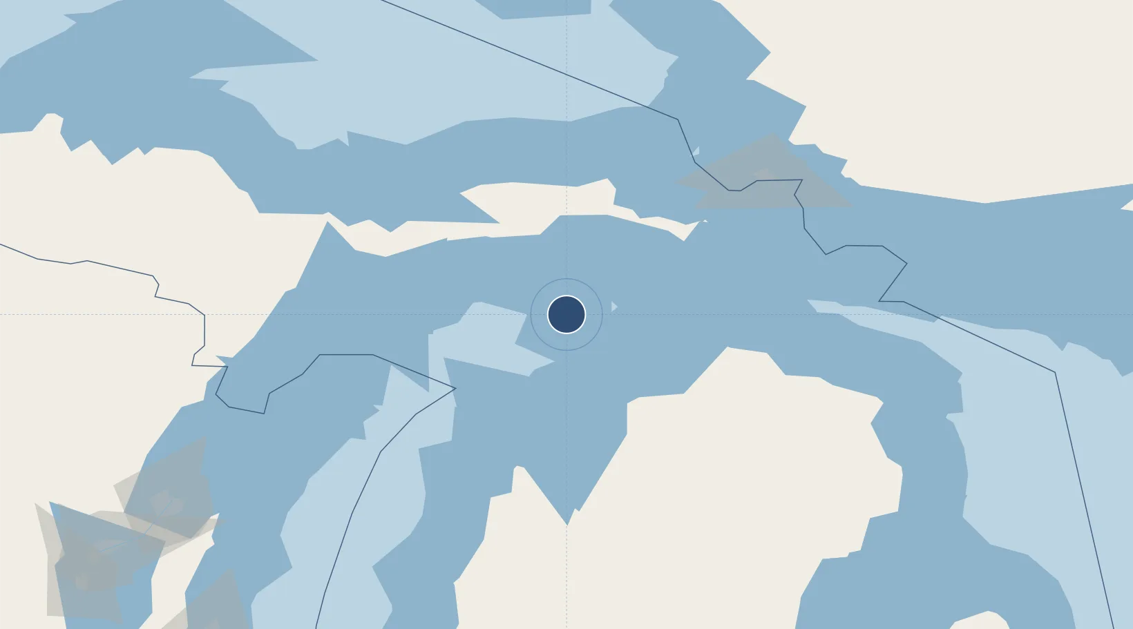
45.6923°, -85.5666°
4,299 ft
Longest runway
3
Runways
669 ft
Elevation
Runway & Layout

Radio Frequencies
AWOS
118.075 MHz
AWOS 3
CNTR
134.6 MHz
MINNEAPOLIS CNTR
UNIC
122.8 MHz
CTAF/UNICOM
Runways · 3
| Runway | Dimensions | Surface | True heading | Lit |
|---|---|---|---|---|
| 09/27 | 4,299 × 75ft | Asphalt | 090° | ✓ |
| 14/32 | 3,278 × 120ft | Grass | 132° | — |
| 05/23 | 2,054 × 120ft | Grass | 042° | — |
Airport Specifications
ICAO code
KSJX
Airport class
Small airport
Scheduled service
Yes
Runway surface
Asphalt
Served city
Beaver Island
Location
Nearby Logistics Neighbours
Airports
Cities
- 1Beaver Island5 km
- 2Gulliver47 km
- 3Harbor Springs54 km
- 4Brevort55 km
- 5Conway63 km
Ports
- 1Charlevoix48 km
- 2Harbor Springs54 km
- 3Petoskey59 km
- 4Manistique60 km
- 5Mackinaw City67 km
Trade Zones
- 1FTZ No. 016 Sault Ste. Marie126 km
- 2FTZ No. 167 Brown County254 km
- 3FTZ No. 189 Kent Ottawa/Muskegon Counties279 km
- 4FTZ No. 019 Omaha283 km
- 5FTZ No. 101 Clinton County313 km
DatabookThe Record of Consolidated Knowledge
United States beyond logistics?