Transport Functions
Port
Rail
Road
Hub Profile
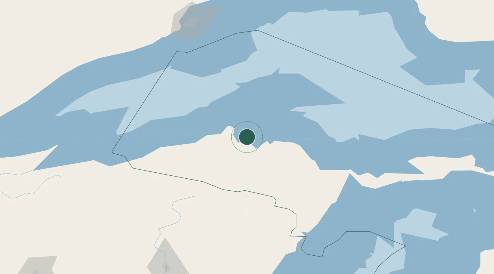
Place type
Populated place
Region
Michigan
Population
1,996
Time zone
America/Detroit
Elevation
192 m
Location
Nearby Logistics Neighbours
Cities
- 1Kenton44 km
- 2Lake Linden45 km
- 3Bruce Crossing59 km
- 4Ontonagon60 km
- 5Iron River79 km
Ports
- 1L Anse3 km
- 2Houghton37 km
- 3Ontonagon64 km
- 4Presque Isle89 km
- 5Marquette90 km
Airports
Trade Zones
- 1FTZ No. 167 Brown County259 km
- 2FTZ No. 051 Duluth286 km
- 3FTZ No. 016 Sault Ste. Marie314 km
- 4FTZ No. 019 Omaha412 km
- 5FTZ No. 041 Milwaukee415 km
DatabookThe Record of Consolidated Knowledge
United States beyond logistics?