Transport Functions
Rail
Road
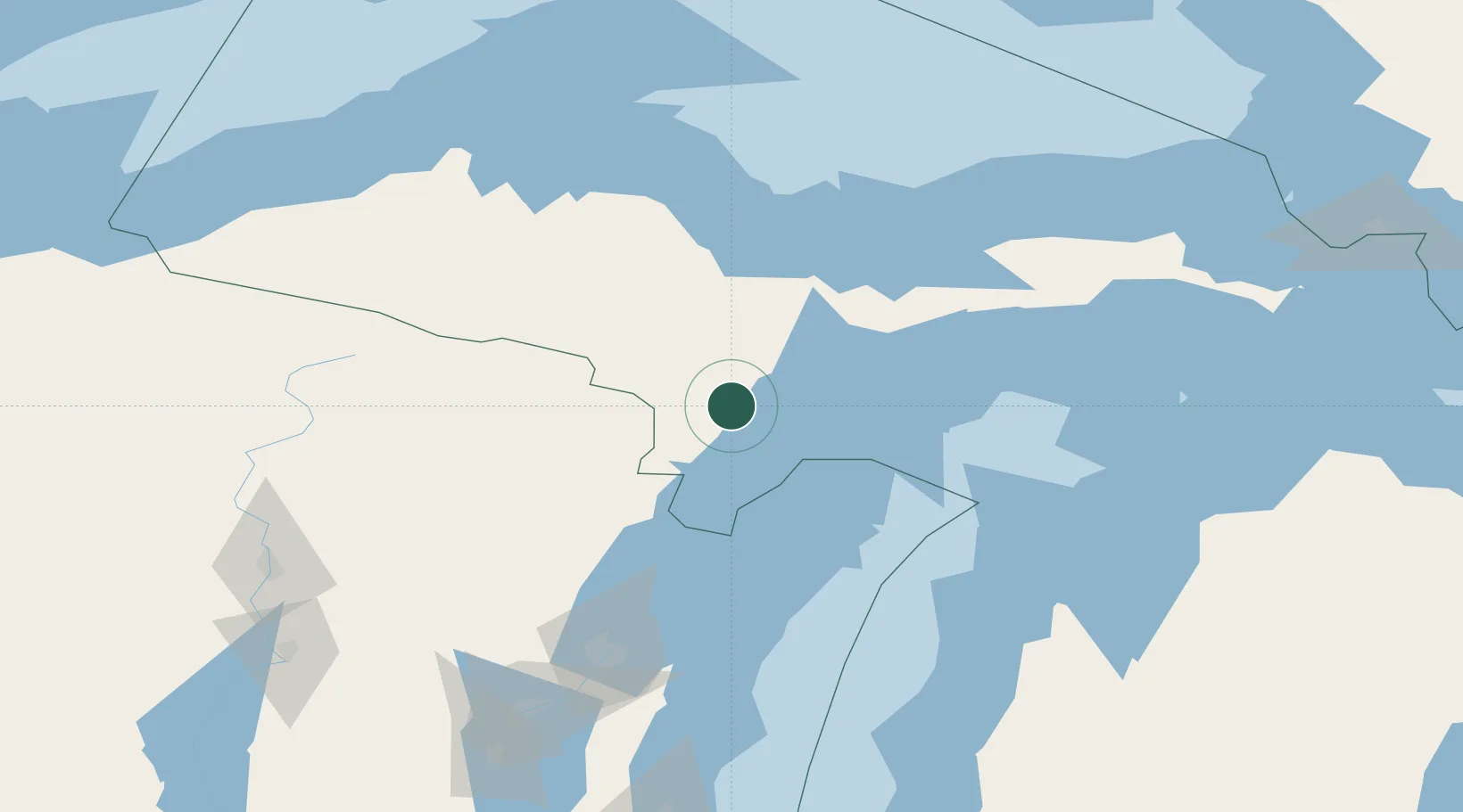
Hub Profile
Place type
Populated place
Region
Michigan
Time zone
America/Menominee
Elevation
242 m
Location
Nearby Logistics Neighbours
Cities
- 1Kingsley28 km
- 2Cedar River34 km
- 3Stephenson36 km
- 4Norway37 km
- 5Quinnesec44 km
Airports
- 1Delta County Airport27 km
- 2Ford Airport55 km
- 3Marquette/Sawyer International Airport73 km
- 4Beaver Island Airport145 km
- 5Austin Straubel International Airport146 km
Trade Zones
- 1FTZ No. 167 Brown County153 km
- 2FTZ No. 016 Sault Ste. Marie249 km
- 3FTZ No. 019 Omaha273 km
- 4FTZ No. 189 Kent Ottawa/Muskegon Counties289 km
- 5FTZ No. 041 Milwaukee299 km
DatabookThe Record of Consolidated Knowledge
United States beyond logistics?