Transport Functions
Port
Rail
Road
Multimodal
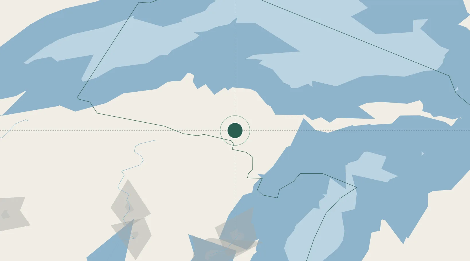
Hub Profile
Place type
Populated place
Region
Michigan
Time zone
America/Menominee
Elevation
435 m
Location
Nearby Logistics Neighbours
Cities
- 1Florence23 km
- 2Quinnesec32 km
- 3Norway36 km
- 4Iron River44 km
- 5Goodman55 km
Ports
- 1Marquette73 km
- 2Presque Isle75 km
- 3L Anse82 km
- 4Baraga84 km
- 5Gladstone85 km
Airports
Trade Zones
- 1FTZ No. 167 Brown County181 km
- 2FTZ No. 016 Sault Ste. Marie285 km
- 3FTZ No. 019 Omaha327 km
- 4FTZ No. 051 Duluth330 km
- 5FTZ No. 041 Milwaukee336 km
DatabookThe Record of Consolidated Knowledge
United States beyond logistics?