Channel & Berth Profile
Pilotage, Tugs & Services
Pilotage compulsoryYES
Tug assistanceYES
Potable waterYES
Diesel bunkersYES
MedicalYES
Facilities & Capabilities
Container—
Ro-Ro—
Liquid bulkYES
Dry bulkYES
Oil terminal—
Break bulk—
Dry dock—
RepairsNO
BunkeringYES
Rail link—
Dangerous cargo—
ISPS security—
Harbour Specifications
Harbour size
Very Small
Harbour type
Coastal (Natural)
Shelter
Excellent
Water body
Lake Michigan; Great Lakes
Overhead limit
Yes
Pilotage
Yes
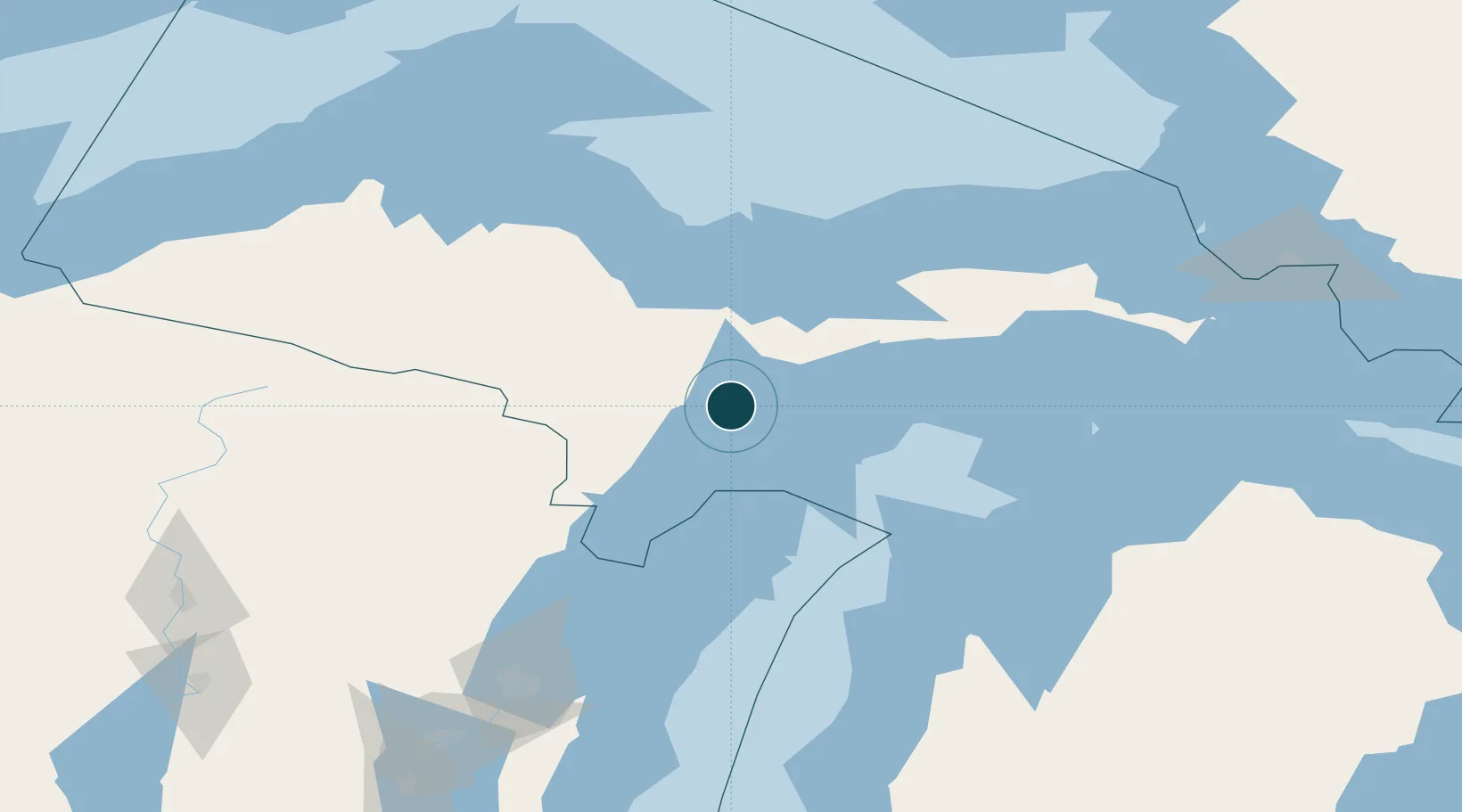
Location
Nearby Logistics Neighbours
Ports
- 1Escanaba10 km
- 2Manistique60 km
- 3Munising69 km
- 4Marquette81 km
- 5Presque Isle85 km
Cities
- 1Kingsley20 km
- 2Wilson36 km
- 3Cedar River56 km
- 4Stephenson68 km
- 5Norway69 km
Airports
- 1Delta County Airport15 km
- 2Marquette/Sawyer International Airport63 km
- 3Ford Airport85 km
- 4Beaver Island Airport114 km
- 5Welke Airport117 km
Trade Zones
- 1FTZ No. 167 Brown County184 km
- 2FTZ No. 016 Sault Ste. Marie213 km
- 3FTZ No. 019 Omaha285 km
- 4FTZ No. 189 Kent Ottawa/Muskegon Counties296 km
- 5FTZ No. 041 Milwaukee322 km
DatabookThe Record of Consolidated Knowledge
United States beyond logistics?