Seaplane base · United States
Port Williams Seaplane BaseKPR
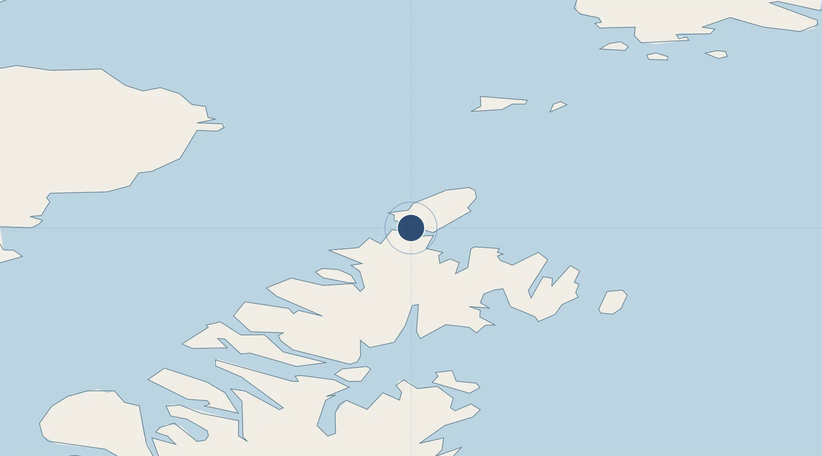
58.4901°, -152.5820°
10,000 ft
Longest runway
1
Runways
Runway & Layout
Runways · 1
| Runway | Dimensions | Surface | True heading | Lit |
|---|---|---|---|---|
| E/W | 10,000 × 4000ft | Water | — | — |
Airport Specifications
IATA code
KPR
ICAO code
KPR
Airport class
Seaplane base
Scheduled service
Yes
Runway surface
Water
Served city
Port Williams
Location
Nearby Logistics Neighbours
Airports
- 1Seal Bay Seaplane Base26 km
- 2Kitoi Bay Seaplane Base36 km
- 3Ouzinkie Airport61 km
- 4Port Bailey Seaplane Base68 km
- 5Port Lions Airport69 km
Cities
- 1Afognak56 km
- 2Jakolof Bay123 km
- 3Kaguyak194 km
- 4Anchorage340 km
- 5Port MacKenzie343 km
Ports
- 1Port William1 km
- 2Ouzinkie64 km
- 3Kodiak79 km
- 4Port Graham105 km
- 5Seldovia116 km
Trade Zones
- 1FTZ No. 232 Kodiak130 km
- 2FTZ No. 160 Anchorage341 km
- 3FTZ No. 108 Valdez455 km
- 4FTZ No. 195 Fairbanks751 km
- 5PrInce George Logistics Park1896 km
DatabookThe Record of Consolidated Knowledge
United States beyond logistics?