Channel & Berth Profile
Pilotage, Tugs & Services
Pilotage compulsoryYES
Tug assistanceNO
Salvage tugsNO
Potable waterYES
Diesel bunkersYES
MedicalYES
Facilities & Capabilities
Container—
Ro-Ro—
Liquid bulk—
Dry bulk—
Oil terminal—
Break bulk—
Dry dock—
Repairs—
Bunkering—
Rail link—
Dangerous cargo—
ISPS security—
Harbour Specifications
Harbour size
Very Small
Harbour type
Coastal (Natural)
Shelter
Poor
Water body
Lake Superior; Great Lakes
Overhead limit
No
Pilotage
Yes
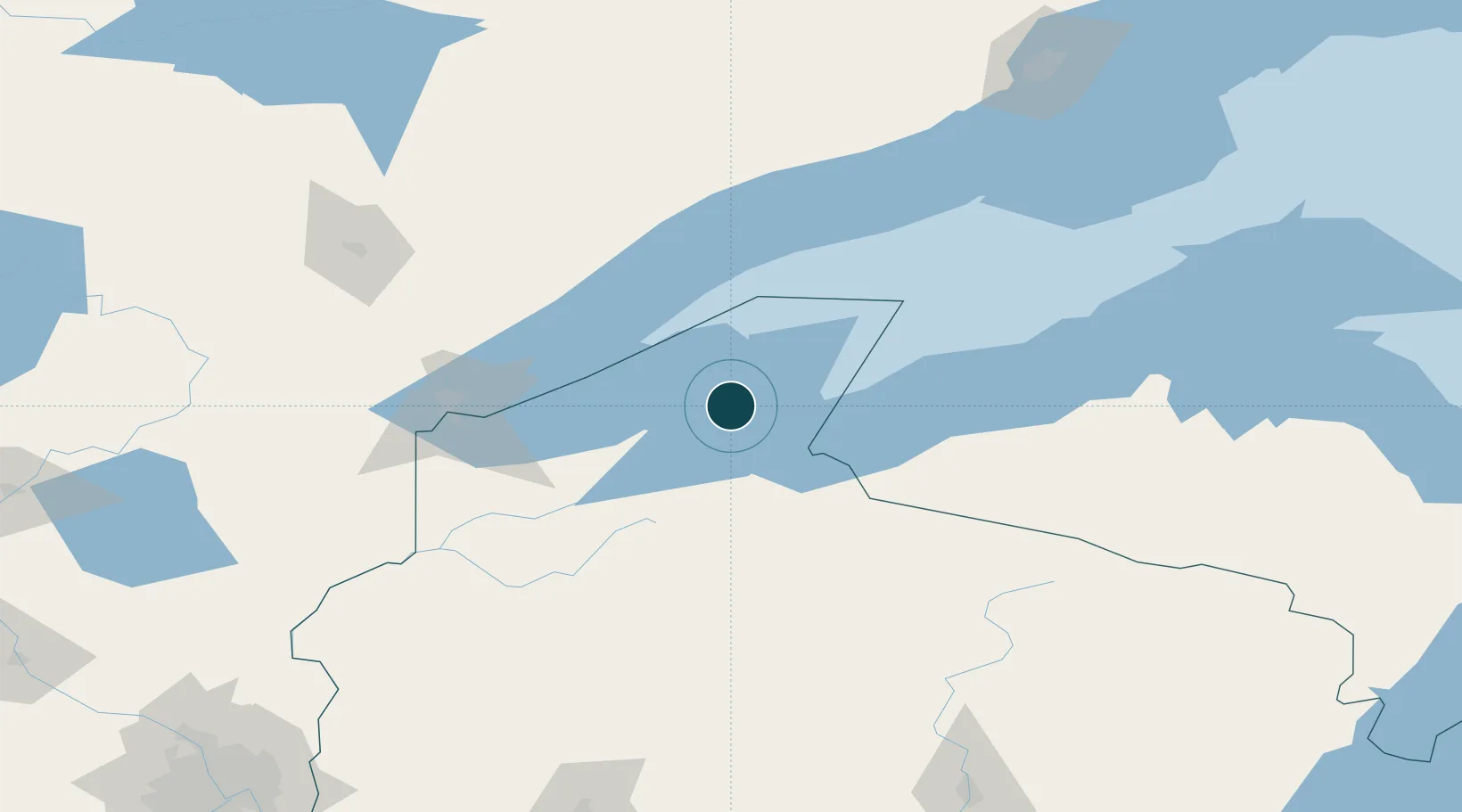
Location
Nearby Logistics Neighbours
Ports
- 1Bayfield3 km
- 2Washburn15 km
- 3Ashland21 km
- 4Two Harbors71 km
- 5Superior98 km
Cities
- 1Mason, Bayfield45 km
- 2Mellen53 km
- 3Hurley60 km
- 4Glidden74 km
- 5Wakefield74 km
Airports
- 1Gogebic Iron County Airport57 km
- 2Sawyer County Airport98 km
- 3Duluth International Airport108 km
- 4Ely Municipal Airport140 km
- 5Rhinelander Oneida County Airport163 km
Trade Zones
- 1FTZ No. 051 Duluth112 km
- 2FTZ No. 119 Minneapolis-St. Paul277 km
- 3FTZ No. 259 Koochiching County313 km
- 4FTZ No. 167 Brown County323 km
- 5FTZ No. 266 Dane County422 km
DatabookThe Record of Consolidated Knowledge
United States beyond logistics?