Transport Functions
Rail
Road
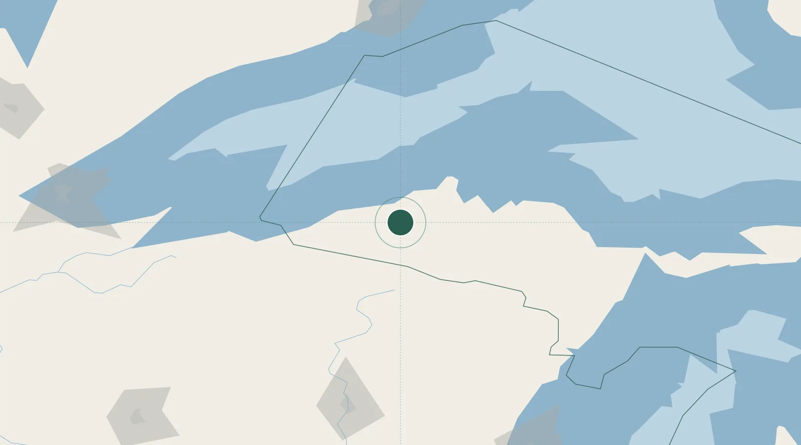
Hub Profile
Place type
Populated place
Region
Michigan
Time zone
America/Detroit
Elevation
347 m
Location
Nearby Logistics Neighbours
Cities
- 1Kenton24 km
- 2Ontonagon38 km
- 3White Pine39 km
- 4Wakefield58 km
- 5Baraga59 km
Airports
Trade Zones
- 1FTZ No. 051 Duluth236 km
- 2FTZ No. 167 Brown County241 km
- 3FTZ No. 119 Minneapolis-St. Paul359 km
- 4FTZ No. 016 Sault Ste. Marie365 km
- 5FTZ No. 266 Dane County387 km
DatabookThe Record of Consolidated Knowledge
United States beyond logistics?