UN/LOCODE hub · United States
USWFE
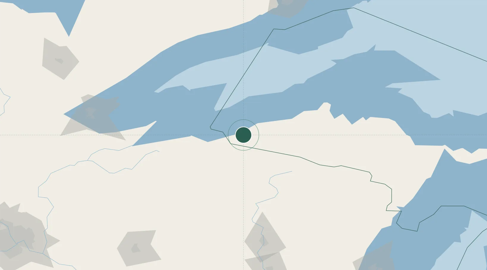
Wakefield
46.4667°, -89.9333°
1,725
Population
3
Transport functions
Transport Functions
Rail
Road
Multimodal
Hub Profile
Place type
Populated place
Region
Michigan
Population
1,725
Time zone
America/Menominee
Elevation
469 m
Location
Nearby Logistics Neighbours
Cities
- 1Hurley20 km
- 2White Pine41 km
- 3Bruce Crossing58 km
- 4Mellen59 km
- 5Glidden63 km
Airports
- 1Gogebic Iron County Airport17 km
- 2Rhinelander Oneida County Airport100 km
- 3Sawyer County Airport126 km
- 4Houghton County Memorial Airport135 km
- 5Ford Airport158 km
Trade Zones
- 1FTZ No. 051 Duluth180 km
- 2FTZ No. 167 Brown County258 km
- 3FTZ No. 119 Minneapolis-St. Paul306 km
- 4FTZ No. 266 Dane County378 km
- 5FTZ No. 259 Koochiching County387 km
DatabookThe Record of Consolidated Knowledge
United States beyond logistics?