Medium airport · United States

Rhinelander Oneida County AirportKRHI
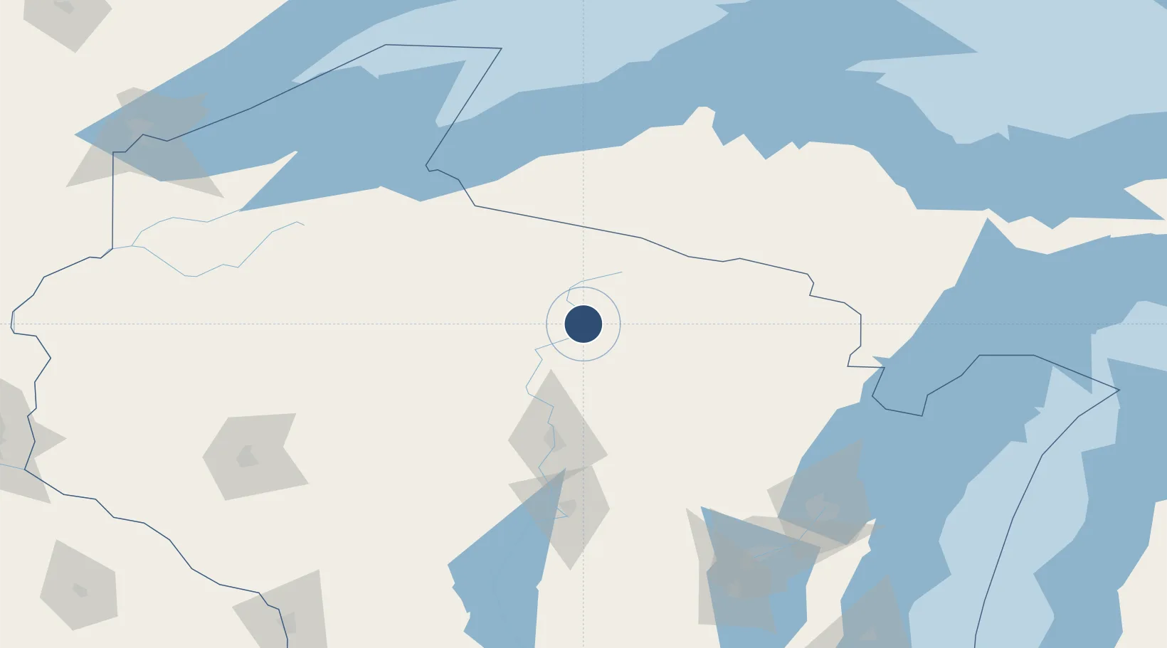
45.6312°, -89.4675°
6,800 ft
Longest runway
2
Runways
1,624 ft
Elevation

Runway & Layout

Rhinelander Oneida County Airport runway & taxiway layout
Runway & taxiway layout — OpenStreetMap (ODbL) / OurAirports

Radio Frequencies

ASOS
126.825 MHz
CNTR
133.65 MHz
MINNEAPOLIS CNTR
RDO
109.2 MHz
GREEN BAY RDO
UNIC
123 MHz
CTAF/UNICOM
OurAirports

Navaids

RH NDB Arsha 272 kHz
RHI VORTAC Rhinelander 109.20 MHz
OurAirports

Runways · 2

RunwayDimensions SurfaceTrue headingLit
09/27 6,800 × 150ft Concrete 088°
15/33 5,201 × 100ft Asphalt 148°
OurAirports

Airport Specifications

IATA code
RHI
OurAirports
ICAO code
KRHI
OurAirports
Airport class
Medium airport
OurAirports
Scheduled service
Yes
OurAirports
Runway surface
Concrete
OurAirports
Served city
Rhinelander
OurAirports

Location

Location of KRHI
Natural Earth 10m (public domain) · Wisconsin · KRHI · 45.63, -89.47GoogleOSMYandex

Nearby Logistics Neighbours

Airports
  1. 1Wausau Downtown Airport79 km
  2. 2Central Wisconsin Airport96 km
  3. 3Ford Airport107 km
  4. 4Gogebic Iron County Airport112 km
  5. 5Sawyer County Airport159 km
Nearest neighbours — logibook spatial index (haversine) over the source coordinates
Cities
  1. 1Tomahawk32 km
  2. 2Woodruff33 km
  3. 3Crandon45 km
  4. 4Pearson48 km
  5. 5Brokaw48 km
Nearest neighbours — logibook spatial index (haversine) over the source coordinates
Ports
  1. 1Ontonagon140 km
  2. 2L Anse148 km
  3. 3Baraga149 km
  4. 4Oconto152 km
  5. 5Ashland152 km
Nearest neighbours — logibook spatial index (haversine) over the source coordinates
Trade Zones
  1. 1FTZ No. 167 Brown County160 km
  2. 2FTZ No. 051 Duluth249 km
  3. 3FTZ No. 266 Dane County286 km
  4. 4FTZ No. 119 Minneapolis-St. Paul304 km
  5. 5FTZ No. 041 Milwaukee306 km
Nearest neighbours — logibook spatial index (haversine) over the source coordinates
DatabookThe Record of Consolidated Knowledge
United States beyond logistics?
Browse databook

All Sources

AirportsOurAirports
Public domain
Portsthe NGA World Port Index
Public domain (US gov)
LocationsUN/LOCODE
UN/LOCODE — free
Trade Zonesthe World Bank SEZ database
CC BY 4.0
Trade ZonesOpen Zone Map
CC BY
InfrastructureOpenStreetMap
ODbL 1.0
← United States airports