UN/LOCODE hub · United States
USZTP
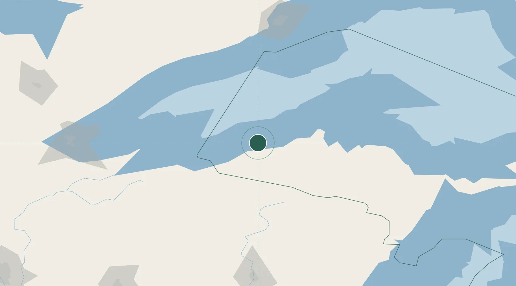
White Pine
46.7500°, -89.5833°
474
Population
4
Transport functions
Transport Functions
Port
Rail
Road
Multimodal
Hub Profile
Place type
Populated place
Region
Michigan
Population
474
Time zone
America/Detroit
Elevation
274 m
Location
Nearby Logistics Neighbours
Cities
- 1Ontonagon26 km
- 2Bruce Crossing39 km
- 3Wakefield41 km
- 4Hurley58 km
- 5Kenton61 km
Airports
- 1Gogebic Iron County Airport49 km
- 2Houghton County Memorial Airport95 km
- 3Rhinelander Oneida County Airport125 km
- 4Ford Airport153 km
- 5Sawyer County Airport164 km
Trade Zones
- 1FTZ No. 051 Duluth203 km
- 2FTZ No. 167 Brown County274 km
- 3FTZ No. 119 Minneapolis-St. Paul345 km
- 4FTZ No. 259 Koochiching County394 km
- 5FTZ No. 016 Sault Ste. Marie396 km
DatabookThe Record of Consolidated Knowledge
United States beyond logistics?