UN/LOCODE hub · United States
USONG
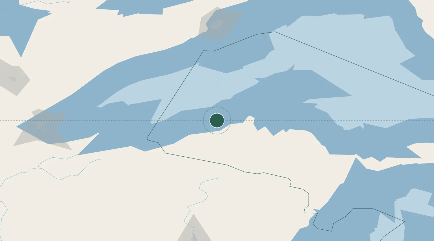
Ontonagon
46.8667°, -89.2833°
1,324
Population
3
Transport functions
Transport Functions
Port
Rail
Road
Hub Profile
Place type
Provincial seat
Region
Michigan
Population
1,324
Time zone
America/Detroit
Elevation
188 m
Location
Nearby Logistics Neighbours
Cities
- 1White Pine26 km
- 2Bruce Crossing38 km
- 3Kenton52 km
- 4Baraga60 km
- 5Wakefield67 km
Airports
Trade Zones
- 1FTZ No. 051 Duluth226 km
- 2FTZ No. 167 Brown County279 km
- 3FTZ No. 119 Minneapolis-St. Paul372 km
- 4FTZ No. 016 Sault Ste. Marie374 km
- 5FTZ No. 259 Koochiching County409 km
DatabookThe Record of Consolidated Knowledge
United States beyond logistics?