Small airport · United States
Gogebic Iron County AirportKIWD
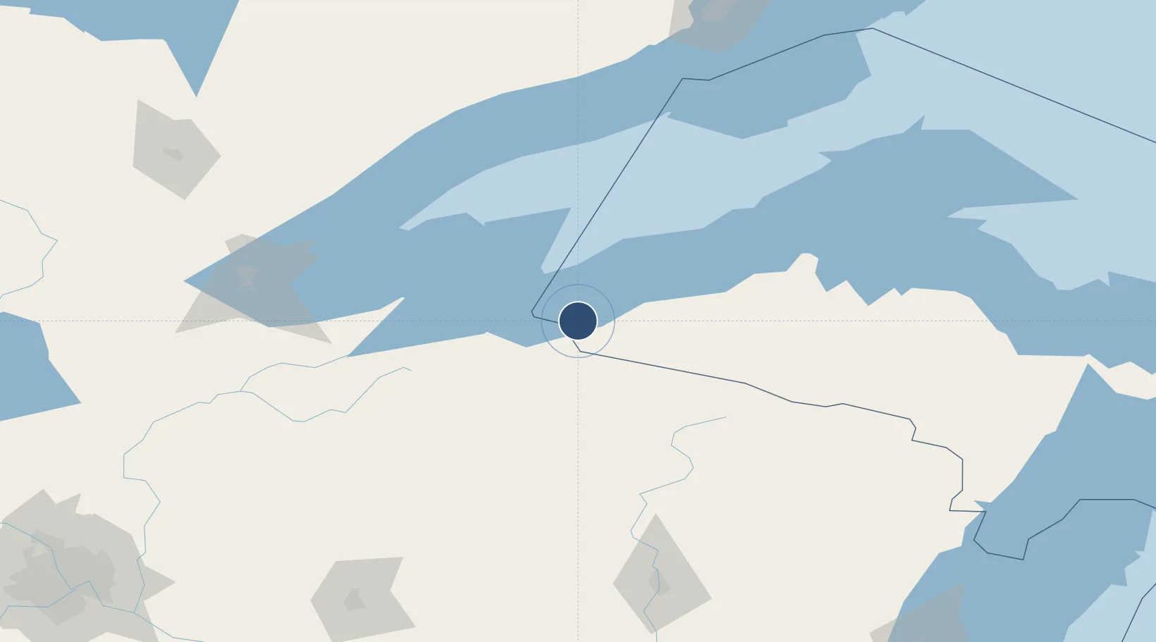
46.5253°, -90.1316°
6,502 ft
Longest runway
1
Runways
1,230 ft
Elevation
Runway & Layout

Radio Frequencies
AWOS
125.175 MHz
AWOS 3
CNTR
133.55 MHz
MINNEAPOLIS CNTR
RDO
122.3 MHz
GREEN BAY RDO
UNIC
122.8 MHz
CTAF/UNICOM
Runways · 1
| Runway | Dimensions | Surface | True heading | Lit |
|---|---|---|---|---|
| 09/27 | 6,502 × 100ft | Asphalt | 090° | ✓ |
Airport Specifications
IATA code
IWD
ICAO code
KIWD
Airport class
Small airport
Scheduled service
Yes
Runway surface
Asphalt
Served city
Ironwood
Location
Nearby Logistics Neighbours
Airports
- 1Rhinelander Oneida County Airport112 km
- 2Sawyer County Airport115 km
- 3Houghton County Memorial Airport144 km
- 4Duluth International Airport162 km
- 5Ford Airport174 km
Cities
- 1Hurley11 km
- 2Wakefield17 km
- 3Mellen47 km
- 4White Pine49 km
- 5Glidden57 km
Trade Zones
- 1FTZ No. 051 Duluth164 km
- 2FTZ No. 167 Brown County271 km
- 3FTZ No. 119 Minneapolis-St. Paul297 km
- 4FTZ No. 259 Koochiching County370 km
- 5FTZ No. 266 Dane County386 km
DatabookThe Record of Consolidated Knowledge
United States beyond logistics?