Channel & Berth Profile
Pilotage, Tugs & Services
Pilotage compulsoryYES
Potable waterYES
Diesel bunkersYES
MedicalYES
Facilities & Capabilities
Container—
Ro-Ro—
Liquid bulk—
Dry bulk—
Oil terminal—
Break bulk—
Dry dock—
RepairsNO
BunkeringYES
Rail linkYES
Dangerous cargo—
ISPS security—
Harbour Specifications
Harbour size
Very Small
Harbour type
River (Natural)
Shelter
Excellent
Water body
North Atlantic Ocean
Tidal range
0.9 m
Overhead limit
Yes
Pilotage
Yes
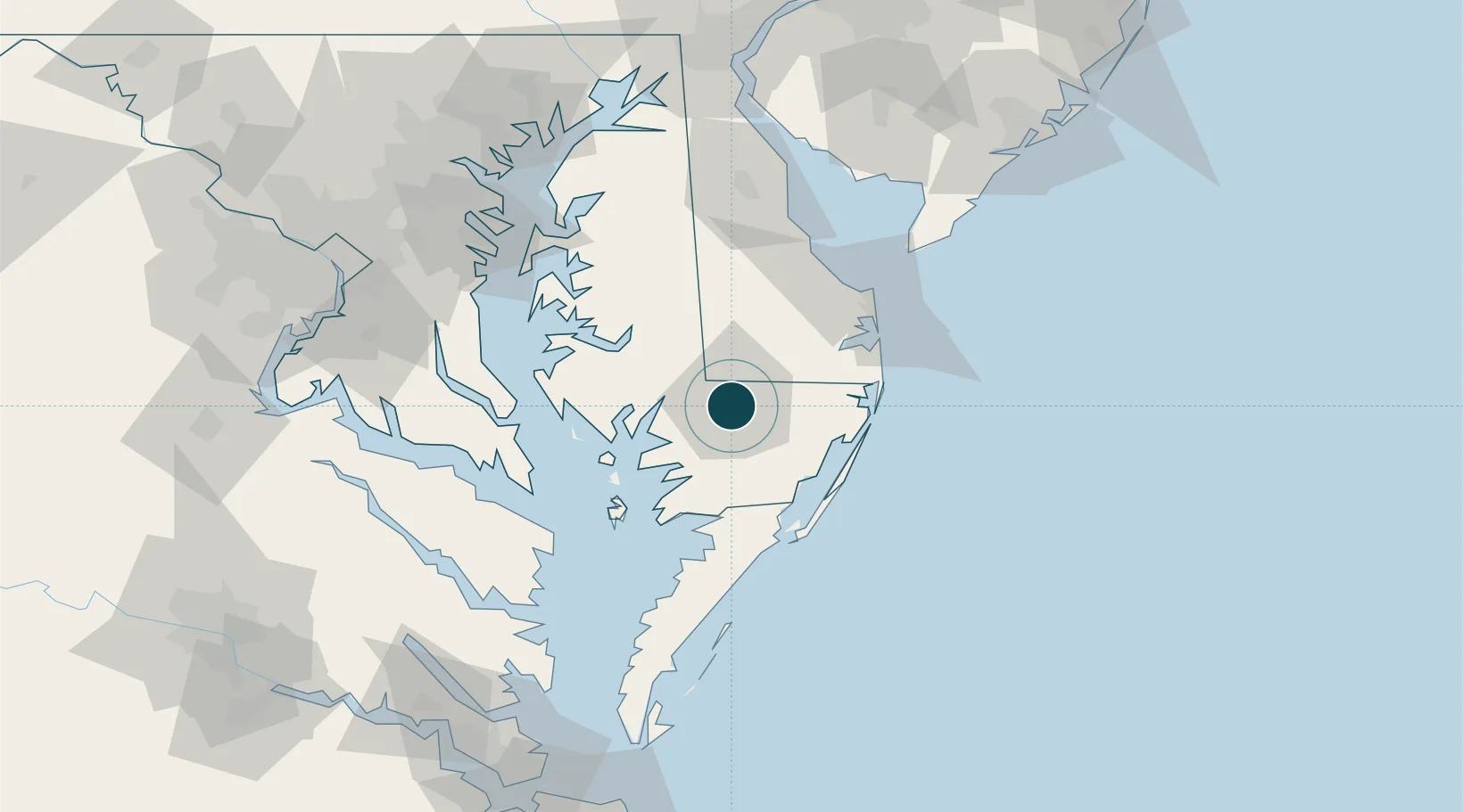
Location
Nearby Logistics Neighbours
Ports
- 1Ocean City45 km
- 2Solomons Island74 km
- 3Piney Point86 km
- 4Annapolis103 km
- 5Cape Charles128 km
Airports
Trade Zones
- 1FTZ No. 142 Salem Millville121 km
- 2FTZ No. 073 BWI Airport129 km
- 3FTZ No. 074 Baltimore133 km
- 4FTZ No. 063 PrInce Georges County145 km
- 5FTZ No. 099 Wilmington153 km
DatabookThe Record of Consolidated Knowledge
United States beyond logistics?